Ashton Under Hill Walks

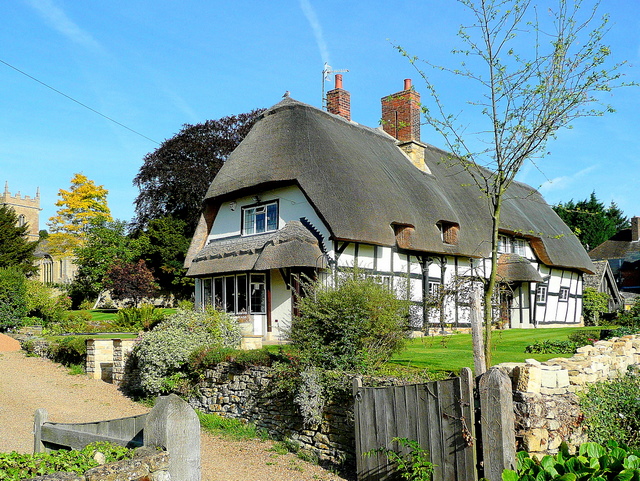
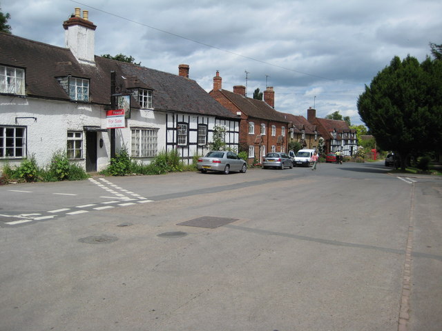
 This attractive Worcestershire based village is in a great location for countryside walking. The pretty village includes some photogenic thatched properties and a fine village pub.
This circular walk from the village visits the splendid viewpoints on Bredon Hill before heading to the delightful neighbouring village of Elmley Castle. Part of the route makes use of the Wychavon Way, a long distance waymarked trail running through the area.
The walk starts in the village where you can pick up the Wychavon Way and follow the trail north west to Bredon Hill and the Banbury Stone Tower viewpoint. The hill is a great place for local walks with an Iron Age Hill Fort and a nature reserve with some splendid flora and fauna.
You continue east past Doctor's Wood to Elmley Castle, a picture postcard village with a village pond and an old church dating from the 12th century.
The route then heads south to Fiddler's Knap before picking up a bridlepath taking you past Ashtonwood House and Holcomb Nap Hill. Shortly after you return to Ashton Under Hill and then end of the route.
Ashton Under Hill Ordnance Survey Map  - view and print off detailed OS map
Ashton Under Hill Open Street Map  - view and print off detailed map
Ashton Under Hill OS Map  - Mobile GPS OS Map with Location tracking
Ashton Under Hill Open Street Map  - Mobile GPS Map with Location tracking
Walks near Ashton Under Hill
- Bredon Hill - Climb to the 299 m (981 ft) summit of this hill in the Cotswolds and enjoy fine views over the surrounding countryside
- Elmley Castle - This little village is generally agreed to be one of the prettiest in Worcestershire
- Wychavon Way - Follow the Wychavon Way through the Worcestershire countryside on this splendid 40 mile walk.
The walk begins at the town of Droitwch Spa, where you can pick up the waymarked trail just to the east of the town centre and train station - Pershore - This circular walk from the market town of Pershore visits some of the highlights of the area
- Tiddesley Wood - This walk explores the ancient woodland in Tiddesley Wood in Pershore
- Croome Court - Explore the extensive landscaped parkland surrounding this mid 18th century Neo-Palladian mansion near Pershore.
- Evesham Country Park - Enjoy an easy circular walk around this pretty country park located just to the north of Evesham
- Tewkesbury - This riverside circular walk explore the town of Tewkesbury in Gloucestershire
- Twyning - A circular walk around the Gloucestershire village of Twyning, visiting the River Avon and the River Severn
- Hanley Swan - This Worcestershire based village is located in a pleasant rural spot in the Malvern Hills area of the county
- Upton Upon Severn - This small town in Worcestershire is ideally positioned for river and country walks
- Evesham - This historic market town is located in Worcestershire, on the River Avon.
- Kemerton - This Worcestershire village lies on the edge of the Cotswolds and the southern slopes of Bredon Hill
- Beckford Nature Reserve - Explore the Beckford Nature Reserve on this easy walk in the Worcestershire village of Beckford.
Pubs/Cafes
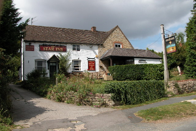
Head to The Star Inn for some post exercise relaxation and refreshment. They serve fine food and have a lovely garden area for warmer weather. You can find them at postcode WR11 7SN for your sat navs.
Dog Walking
The woodland and hillside trails are great for fit dogs. The Star mentioned above is also dog friendly.
Further Information and Other Local Ideas
To the south west is the worthy village of Kemerton where there are two wildlife rich nature reserves to explore. The village is very pretty with the 16th century Kemerton Court and a Grade II listed church to see as well. Near here there's also the Beckford Nature Reserve with its bluebell woods and lakeside paths.


