Dereham Walks - Near and Around

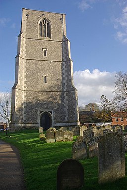
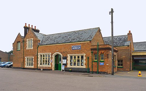
 This historic Norfolk market town sits in the heart of the county. The town includes many interesting features including a Norman church, a Grade II listed windmill and the Mid Norfolk Railway which begins in the settlement and travels along the line to Wymondham Abbey.
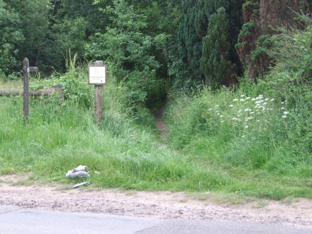
This circular walk in the town explores Lucy's meadow before heading to the Scarning Fen Nature Reserve. The pretty meadow is located on the western side of the town. There's some pleasant walking trails heading south along a pretty stream to Scarning Fen where you can look out for a variety of birdlife.
There's also the information boards on the meadow which tell you about wildflowers and wildlife you can see in the area. This includes little egret, kingfisher, frogs and barn owl. The area is named after Lucy Eyers, a local naturalist who was passionate about Norfolk nature.
Postcode
NR19 2NN - Please note: Postcode may be approximate for some rural locationsDereham Ordnance Survey Map  - view and print off detailed OS map
Dereham Open Street Map  - view and print off detailed map
Dereham OS Map  - Mobile GPS OS Map with Location tracking
Dereham Open Street Map  - Mobile GPS Map with Location tracking
Walks near Dereham
- Walsingham Way - This walk takes you from the historic abbey in Great Walsingham to the city of Norwich
- Wensum Way - This route takes you from Gressenhall to Lenwade, passing through the lovely River Wensum Valley in Norfolk.
- Swanton Morley - This attractive Norfolk village is located just to the north of Dereham in the heart of the county
- Swaffham - This attractive market town is located in the Breckland District of Norfolk
- Pensthorpe - This 700 acre natural park in Fakenham has miles of nice walking trails to try
- Foxley Wood - Visit the largest ancient woodland in Norfolk on this peaceful walk near Dereham
- Reepham - This small market town in Norfolk lies in a pleasant spot between the River Bure and River Wensum valleys
- Hellesdon Circular Walk - A circular walk from the Norwich village of Hellesdon
- Holkham Park - Enjoy a super cycle or walk in this 3000 acre deer park near Wells-Next-The-Sea on the Norfolk coast
- Wymondham Tiffey Valley Walk - This walk follows footpaths along the River Tiffey in the Norfolk town of Wymondham.
- Castle Acre - This lovely circular walk takes you around the grounds of Castle Acre Priory, before heading along the River Nar to the nearby Castle Acre Common
- North Elmham - This pretty Norfolk village is located near Swanton Morley on the western bank of the River Wensum.
- Lyng - This pretty Norfolk village is located in a pleasant spot on the River Wensum, near Swanton Morley and Dereham.
Pubs/Cafes
The Coachmakers Arms serves good food and has a nice garden area. You can find them at postcode NR20 3AU. There's also The Cock on Norwich Street. he friendly inn has a fine selection of ales.
Dog Walking
The meadow is a pleasant place for a dog walk. The Cock inn mentioned above is also dog friendly.
Further Information and Other Local Ideas
Just to the north is the award winning village of Swanton Morley where you'll find a noteworthy 14th century church and an early 17th century pub with strong connections to the ancestors of Abraham Lincoln. In the village you can also pick up the Walsingham Way and the Wensum Way long distance footpaths.


