Yarm Walks
![]()
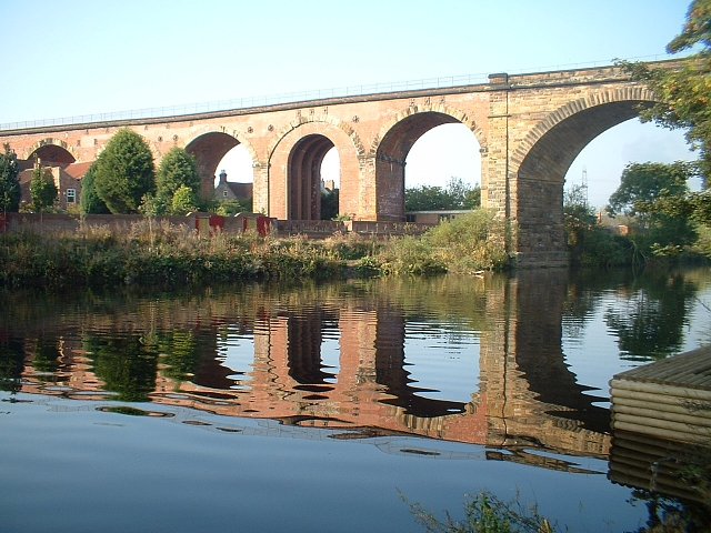
![]() This small North Yorkshire town is nicely positioned for pleasant waterside walking along the River Tees.
This small North Yorkshire town is nicely positioned for pleasant waterside walking along the River Tees.
This walk takes you along the Teesdale Way from the town to the Tees Barrage in Stockton on Tees. The route runs for a distance of just over 8 miles along a nice flat riverside path.
The walk starts on the Yarm Bridge over the river, in North Yarm. On the northern side of the bridge you can pick up the waymarked Teesdale Way and follow it east past Egglescliffe and Eaglescliffe to Preston-on-Tees. Here you can visit the lovely Butterfly World with its tropical rainforest hothouse and reptiles.
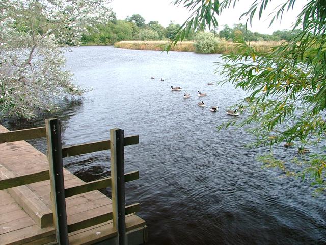
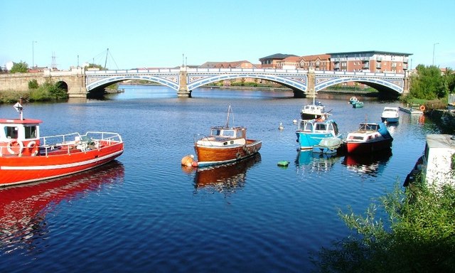
The route continues north through Stockton, passing the Victoria Bridge before arriving at the impressive Tees Barrage. The barrage is used to control the flow of the river, preventing flooding and the effects of tidal change. It's flanked by two lovely nature reserves on either side of the river. There's more nice trails to be found here with lots of interesting flora and fauna to look out for.
At the end of your walk you can catch either a bus or train back to Yarm or return in foot if you prefer.
To continue your riverside walking in Yarm you could head west along the Teesdale Way to visit Low Worsall and Middleton One Row.
Also near the town you will find Coatham Woods where there are miles of nice woodland trails to try. In the town you can also enjoy a stroll through The Rookery. This public area by the River Tees is situated at the bottom of Goose Pasture. The ash, sycamore and lime woodland is about 200 years old and owned by Yarm Town Council. In 2002, a walkway was constructed around the wood to celebrate the Golden Jubilee of Queen Elizabeth II.
Yarm Ordnance Survey Map  - view and print off detailed OS map
Yarm Open Street Map  - view and print off detailed map
*New* - Walks and Cycle Routes Near Me Map - Waymarked Routes and Mountain Bike Trails>>
Yarm OS Map  - Mobile GPS OS Map with Location tracking
Yarm Open Street Map  - Mobile GPS Map with Location tracking
Walks near Yarm
- Tees Barrage Walk - This waterside walk in Stockton-on-Tees explores the riverside paths next to the River Tees Barrage
- Teesdale Way - Follow the River Tees from Dufton, in Cumbria, to Redcar on the North Yorkshire coast
- Coatham Woods - These woods near Stockton on Tees have 2 waymarked walking trails for you to try
- Wynyard Woodland Park - Formerly known as the Castle Eden Walkway Country Park this park in Billingham has numerous woodland footpaths and a visitor centre.
- Cowpen Bewley Woodland Park - This country park in Billingham is the perfect place for a peaceful afternoon stroll
- Hardwick Hall Country Park - This large ornamental park surrounds a fine 18th century hall and is located in Sedgefield in County Durham
- Sedgefield - This attractive town in County Durham has some fine country walks and is well known as the site of the historic Hardwick Hall
- Crathorne Hall - This walk explores the grounds of the Edwardian Crathorne Hall near Yarm
- Darlington - The Teesdale Way runs through the large market town of Darlington in County Durham
- Hurworth on Tees - This riverside village is located just a few miles south of Darlington in County Durham
- Billingham Beck Valley Country Park - This country park is located on the south western side of Billingham, on the pretty Billingham Beck.
Pubs/Cafes
The George & Dragon is a good choice for some post walk refreshments. They have a good menu and a lovely garden area for warmer weather. You can find them on the High Street with a postcode of TS15 9AH for your sat navs.
Dog Walking
The riverside trail is a nice one to do with your dog and the George pub mentioned above is also dog friendly. The woodland trails in the nearby Coatham Woods, Cowpen Bewley and Wynward Wood park are also great for dog walking.
Further Information and Other Local Ideas
The Stockton on Tees Walk visits the Billingham Beck Valley Country Park on the north eastern side of the town. It's a nice place for a stroll with a visitor centre, wildflower meadows, reed-beds, ponds, marshland, woodland and lots of wildlife to see.
Head a few miles south east of the town and you could visit the Edwardian Crathorne Hall. The grounds of the hotel include some nice woodland trails and views of the River Leven which runs through the park.
Photos
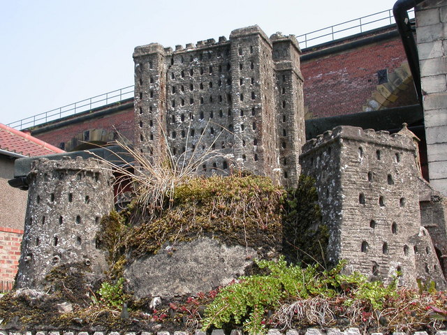
Yarm Castle. Go to the back of the High Street,into West Street and look in the area opposite the end of the Churchyard. The 'castle' is somewhat bijou, being only about 3 feet high, but has been there a long time, at least the 28 years I've known it for...
St Mary Magdalene Parish Church. The present church building is the third to stand on this site. The first church to be built here was Saxon. This would have been built of wood, so no traces of it remain. In a way all the material evidence of its existence is a piece of inscribed stone which was found in Yarm in 1877 by Canon Greenwell of Durham, and was being used as a mangle weight.


