Pepperbox Hill Walk
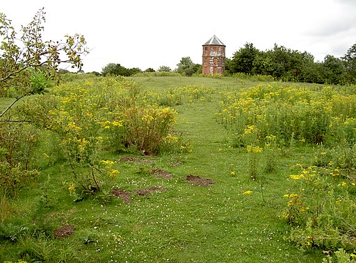
0.6 miles (1 km)This walk climbs to a distinctive 17th century folly on Pepperbox Hill near Salisbury in Wiltshire.
The Grade II listed building dates back to 1606 and is also known as Eyre's Folly. You can start the walk from the Pepperbox Hill car park and then follow footpaths a short way up to the folly.... The area is also a nature reserve with lots of interesting flora and fauna to see.
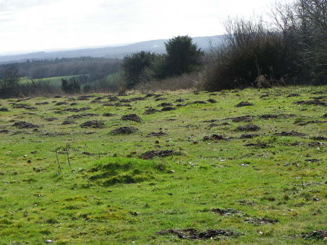
You can find the hill just a mile south of the village of West Grimstead. The high point is 157 metres and includes a number of bridle paths for further exploration. From the top there are fine views over the Wiltshire countryside to Salisbury.
For a longer circular walk through the area see the Whiteparish Dean Hill and Pepperbox Hill Circular Walk.
Pubs and More Info
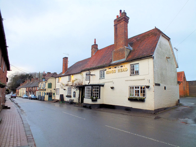
Just to the south east is the village of Whiteparish where you could visit the Kings Head Inn. The historic 16th century pub has old beams, a real fire and a bay window where you can watch the world go by. There's also a good sized garden which has it's own duck pond. They can be found at postcode SP5 2SG.
You could start the walk from the village and follow footpaths north west up to the hill as well.
Interactive Map
Route Video
Nearby Routes
Salisbury Circular Walk Salisbury Country Way Stonehenge Salisbury Plain Figsbury Ring
 Ordnance Survey Map
 OpenStreetMap


