Figsbury Ring
![]()
![]() This walk visits the Iron Age hill fort of Figsbury Ring near the city of Salisbury in Wiltshire.
This walk visits the Iron Age hill fort of Figsbury Ring near the city of Salisbury in Wiltshire.
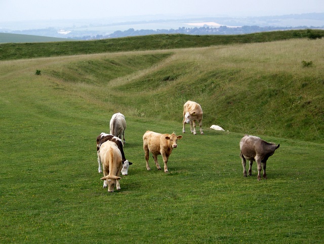
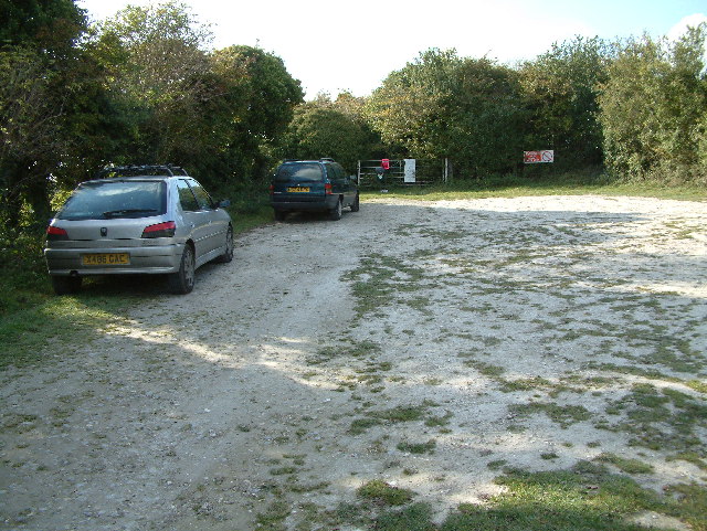
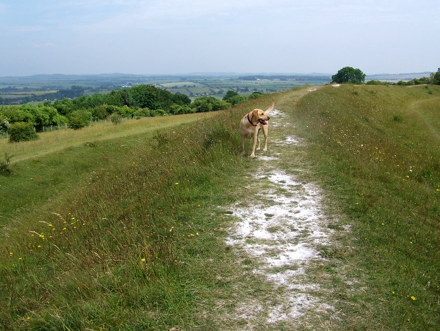
The remote site is located just a few miles north east of Salisbury. You can start your walk from the on site car park and then follow footpaths west up to the hill top. From here you can enjoy some glorious views over the countryside to Salisbury Plain and the city with its famous cathedral.
It's particularly lovely in the warmer months when you can see butterflies and skylarks around the pretty wildflowers.
The Monarch's Way crosses the hill. You could pick up this waymarked trail and follow it north west to visit the nearby villages of Winterbourne Dauntsey and Winterbourne Gunner. Head south east takes you across Winterbourne Down to Middle Winterslow.
Postcode
SP4 6DT - Please note: Postcode may be approximate for some rural locationsFigsbury Ring Ordnance Survey Map  - view and print off detailed OS map
Figsbury Ring Open Street Map  - view and print off detailed map
Figsbury Ring OS Map  - Mobile GPS OS Map with Location tracking
Figsbury Ring Open Street Map  - Mobile GPS Map with Location tracking
Further Information and Other Local Ideas
Just a few miles to the south you can enjoy another climb to Pepperbox Hill. The National Trust owned area includes a distinctive 17th century and some fine views over the Wiltshire countryside to the city.


