Box Hill Cycle Route
![]()
![]() This quiet circular route starts at Dorking Rail station and takes you on a tour of Ranmore Common and Boxhill Country Park.
This quiet circular route starts at Dorking Rail station and takes you on a tour of Ranmore Common and Boxhill Country Park.
This ride is easily accesible from London and is ideal for a pleasant afternoons cycling in the peace of some lovely woodland and countryside. The views are lovely but bear in mind there are a few climbs on this ride.
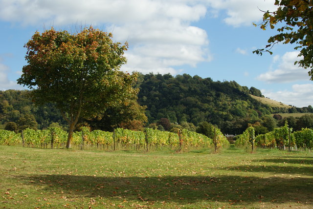
On the way you'll pass through the expansive Ranmore Common where there are miles of good woodland cycling trails, with great views of the Surrey Hills.
The park is not far from London so you could cycle there along National Cycle Network routes. Our London to Box Hill Cycle Route follows the signed trails through South London and Banstead to the park.
For a short walk around the country park see the Box Hill Walks page. There's nice panoramic views of the western Weald and a riverside stroll along the River Mole on the route. You can also visit the Box Tree Cafe for refreshments after your exercise.
Boxhill Country Park Ordnance Survey Map  - view and print off detailed OS map
Boxhill Country Park Open Street Map  - view and print off detailed map
Boxhill Country Park OS Map  - Mobile GPS OS Map with Location tracking
Boxhill Country Park Open Street Map  - Mobile GPS Map with Location tracking
Cycle Routes and Walking Routes Nearby
Elevation Profile


