Chesterfield Canal Cycle Route
![]()
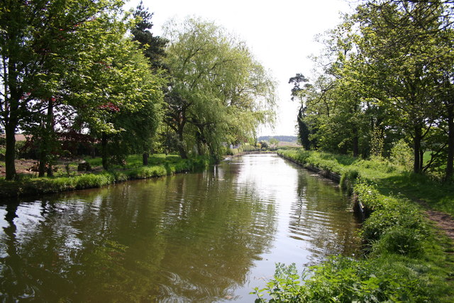
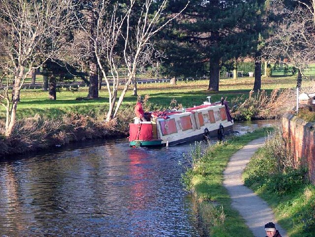
![]() Follow the full length of the Chesterfield Canal on this fine cycle ride from Chesterfield to West Stockwith. The route is just over 40 miles so it can be completed in a day as it takes place on a nice flat path. Most of the canal is suitable for cyclists but please keep to a reasonable speed and dismount where advised.
Follow the full length of the Chesterfield Canal on this fine cycle ride from Chesterfield to West Stockwith. The route is just over 40 miles so it can be completed in a day as it takes place on a nice flat path. Most of the canal is suitable for cyclists but please keep to a reasonable speed and dismount where advised.
The ride starts at Chesterfield Basin and heads to Stavely along a section of the National Cycle Network. You then head through Killimarsh, Kiveton Park, Worksop, Retford and Hayton before finishing at West Stockwith.
Chesterfield Canal Ordnance Survey Map  - view and print off detailed OS map
Chesterfield Canal Open Street Map  - view and print off detailed map
Chesterfield Canal OS Map  - Mobile GPS OS Map with Location tracking
Chesterfield Canal Open Street Map  - Mobile GPS Map with Location tracking
Pubs/Cafes
On the route you could stop off for refreshments at The Boat Inn in Hayton. The pub is located right next to the canal and includes a nice outdoor area with views over the water. You can find the pub at 97 Main Street, Hayton with a postcode of DN22 9LF for your sat navs.
Near to Retford is The Hop Pole. It's in another fine spot next to the canal with a lovely beer garden. You can find it on Welham Road with a postcode of DN22 6UG. The pub is also dog friendly if you have your canine friend with you.
Further Information and Other Local Ideas
In Retford you can stop and see the Mayflower Pilgrims Visitor Centre in the town. Here you can learn about the Pilgrim Fathers, who originated from villages of Babworth and Scrooby on the outskirts of East Retford between 1586 and 1605. The Pilgrims were the English settlers who came to North America on the Mayflower and established the Plymouth Colony in what is today Plymouth, Massachusetts.


