Chopwell Woods
![]()
![]() Enjoy miles of cycling and walking trails in this large forest near Gateshead. There's 360-hectares of mixed woodland to explore on a variety of waymarked paths. Walkers can try four trails of varying lengths and difficulty.
Enjoy miles of cycling and walking trails in this large forest near Gateshead. There's 360-hectares of mixed woodland to explore on a variety of waymarked paths. Walkers can try four trails of varying lengths and difficulty.
These include an easy walk along the Old Railway Footpath which takes you through the heart of the forest on a well surfaced path. There are also longer, more challenging trails around the boundary of the forest and a riverside walk along the River Derwent. Look out for a number of woodland sculptures including the popular Chopwell 'hands'.
It's great for mountain biking too with a number of blue graded trails and one fast technical red grade trail.
To extend your walking in the area, head towards Stanley and visit the oldest surviving single-arch railway bridge in the world at Causey Arch. The site includes a lovely woodland gorge, interesting geology and views of the Tanfield Heritage Railway which runs through the area.
Postcode
NE39 1LT - Please note: Postcode may be approximate for some rural locationsChopwell Woods Ordnance Survey Map  - view and print off detailed OS map
Chopwell Woods Open Street Map  - view and print off detailed map
Chopwell Woods OS Map  - Mobile GPS OS Map with Location tracking
Chopwell Woods Open Street Map  - Mobile GPS Map with Location tracking
Pubs/Cafes
Head west into Chopwell village and you'll find a number of pubs for post walk refreshment.
Dog Walking
As you'd imagine the woodland trails are ideal for dog walking. You'll probably meet other owners on your visit, especially on a fine weekend day.
Cycle Routes and Walking Routes Nearby
Photos
"Hands", Chopwell Wood. Besides being an active forestry plantation the forest has also been developed as a major recreational resource for the people of Gateshead and surrounding areas. A number of wood carvings and other sculptures have been sited in the central part of the wood.
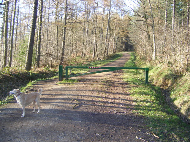
A dog poses for the camera on one of the woodland trails. Look out for wildlife including deer on your walk.
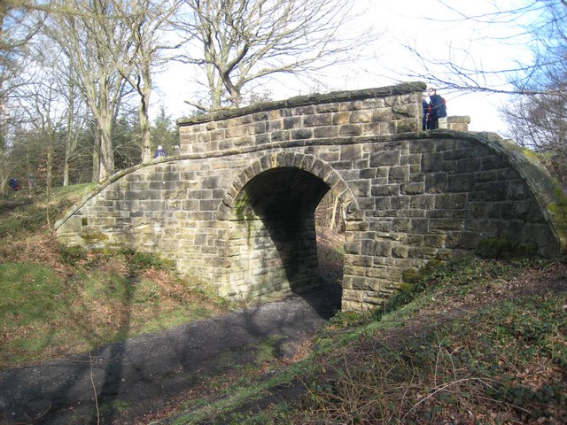
Bridge on the old Chopwell and Garesfield Railway. The Railway was opened in 1894 - the last mineral railway to be opened in the Durham coalfield - and provided a direct link from the mines at Chopwell to the coal staithes on the River Tyne. The railway was closed in 1961.
Bridleway along old railway. This bridleway is very difficult to follow, and little sign is left of the disused railway which it follows. The railway apparently ran from Wickham at the mouth of the Derwent valley up to a site near Wood House. It is not certain whether the line terminated at a coal mine or some other form of mineral extraction.


