Crinan Canal
![]()
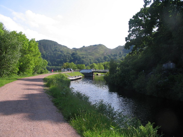
![]() Enjoy a waterside walk or cycle along the Crinan Canal in Argyll and Bute. It's a stunningly beautiful area with the canal running between Loch Crinan and Ardrishaig on Loch Fyne. Along the way there are a number of pretty locks and bridges with fabulous views of the surrounding Scottish hills and countryside. The flat towpath makes for a nice easy stroll or cycle ride.
Enjoy a waterside walk or cycle along the Crinan Canal in Argyll and Bute. It's a stunningly beautiful area with the canal running between Loch Crinan and Ardrishaig on Loch Fyne. Along the way there are a number of pretty locks and bridges with fabulous views of the surrounding Scottish hills and countryside. The flat towpath makes for a nice easy stroll or cycle ride.
The route starts at the Crinan Basin with its pretty boats and views over Loch Crinan to Duntrune Castle. You then head in a south easterly direction towards Bellanoch with views of the River Add and Loch A' Bharain.
The route continues past the village of Cairnbaan to Lochgilphead. The town sits at the head of Loch Gilp and is the administrative centre of Argyll and Bute.
The final section takes you from Lochgilphead to the Ardrishaig canal basin. The pretty village contains a pier, a lighthouse and pubs where you can enjoy refreshments at the end of your exercise.
To extend your cycling in the area you could try the Crinan to Taynuilt and Tarbert to Crinan cycle routes. There's also miles of cycling and walking trails in the adjacent Knapdale Forest. It's a splendid place with several lochs and lots of wildlife to look out for.
Crinan Canal Ordnance Survey Map  - view and print off detailed OS map
Crinan Canal Open Street Map  - view and print off detailed map
*New* - Walks and Cycle Routes Near Me Map - Waymarked Routes and Mountain Bike Trails>>
Crinan Canal OS Map  - Mobile GPS OS Map with Location tracking
Crinan Canal Open Street Map  - Mobile GPS Map with Location tracking
Further Information and Other Local Ideas
At the northern end of Loch Fyne you can visit Inveraray Castle. The photogenic Gothic Revival castle dates back to the 18th century and is surrounded by lovely parkland, woodland and gardens. There's also a wonderful viewpoint with fine views down to the loch.
Cycle Routes and Walking Routes Nearby
Photos
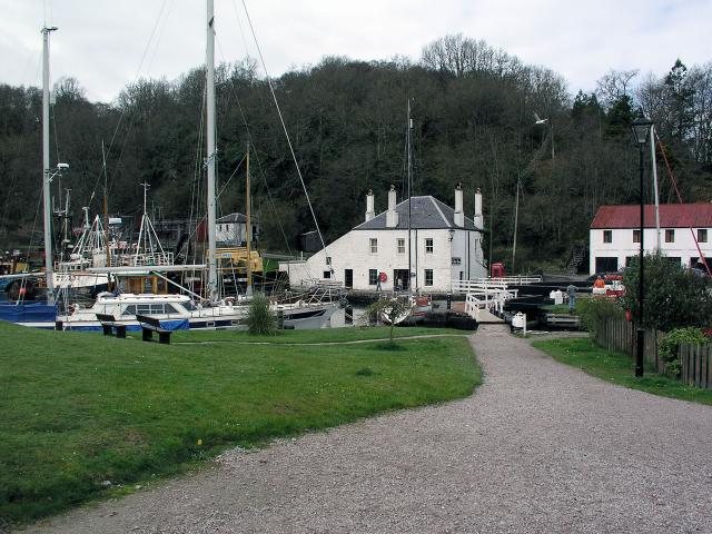
Crinan Canal basin. Loch Crinan beyond. The Crinan Canal runs for 9 miles from Ardrishaig in the east to Crinan in the west, bypassing the long sea passage round the Mull of Kintyre. The Crinan Canal Act was passed in 1793, but financial difficulties required the assistance of a government loan to enable completion in 1809. The canal was never really financially viable and hit problems with land slips. Main users now are pleasure craft and some fishing vessels.
Sea lock office. British Waterways Scotland office adjacent to lock no. 15 at the canal basin. Staff operate the basin lock gates. Note the 'puffer' shaped weathervane. Stiff breeze from the east.


