Garw Valley Community Path
![]()
![]() This cycle or walk explores the lovely Garw Valley near Bridgend in South Wales.
This cycle or walk explores the lovely Garw Valley near Bridgend in South Wales.
The route follows a disused railway line from Bryngarw Country Park to Blaengarw at the head of the valley. There's fine views of the River Garw as you pass Pontycymer to the east and the Garw Forest to the west. The trail runs for just under 6 miles, rising steadily from the park to the finish point at Blaengarw. The area is good for wildlife spotting and also played a sigfnificant role in its mining history.
You can extend your exercise by exploring the 120 acre Bryngarw Country Park where there are ponds, woodland trails and wildflower meadows to enjoy.
Postcode
CF32 8UU - Please note: Postcode may be approximate for some rural locationsGarw Valley Community Path Ordnance Survey Map  - view and print off detailed OS map
Garw Valley Community Path Open Street Map  - view and print off detailed map
Garw Valley Community Path OS Map  - Mobile GPS OS Map with Location tracking
Garw Valley Community Path Open Street Map  - Mobile GPS Map with Location tracking
Further Information and Other Local Ideas
To continue your walking in the area you can pick up the Bridgend Circular Walk just to the south of the trail. The long distance footpath explores the countryside around the town, passing close to the splendid Merthyr Mawr Sand Dunes which are also well worth a visit.
Cycle Routes and Walking Routes Nearby
Photos
The Garw Valley Community Route by the Country Park. The Community Route, which is a path for cyclists and walkers, is seen here amidst the tall trees of Coed Bryngarw, just on the other (east) side of the Afon Garw from the Bryngarw Country Park. The Country Park marks the southern end of the path which runs up to Blaengarw at the head of the valley. The path is route 884 in the National Cycle Network.
View south from the site of Llangeinor station. At the site of the old station. The cycle path is well surfaced, although a bit narrow at this point. The railway track to the left is disused but still mostly in place as the line may be reopened in the future between Pontycymer and Tondu.
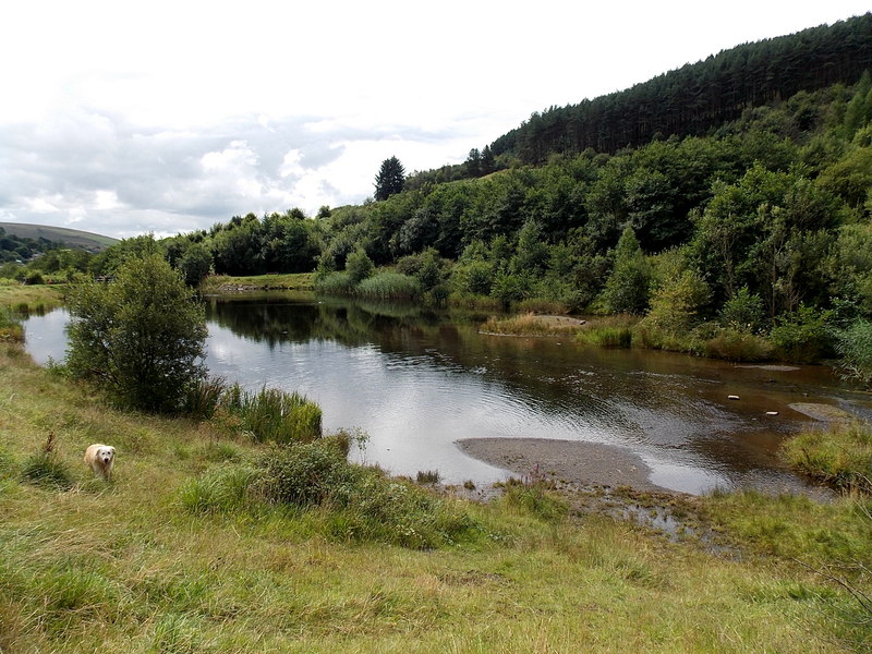
Lake in Parc Calon Lân, Blaengarw. A river, Afon Garw, enters the lake at its NW end and flows out of it about 110 metres to the SE.
Coal loading point at Pontycymer. During the early 90s this mineral line was re-opened to allow the removal of some open cast coal from the area around Pontycmer. At one time the railway served the colliery at Blaengarw just up the valley. Once the coal had been removed the line was once again mothballed. The mines all closed some years ago.


