Heartwood Forest Walking and Cycling with OS Map
![]()
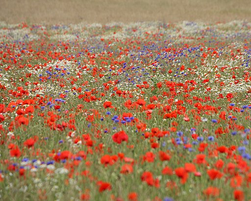
![]() This large forest near St Albans has some fine cycling and walking trails to try. The forest includes over half a million trees, ancient woodland, wildflower meadows and miles of waymarked walks. There's also bridleways suitable for mountain biking. It's great in the spring with carpets of bluebells and lots of wildlife to look out for. This includes barn owls, tawny owls, kestrels and 27 species of butterfly. There is also a community orchard with apple and pears trees plus an arboretum which, once fully grown, will be the only one known in the UK to contain all 57 of our native tree species.
This large forest near St Albans has some fine cycling and walking trails to try. The forest includes over half a million trees, ancient woodland, wildflower meadows and miles of waymarked walks. There's also bridleways suitable for mountain biking. It's great in the spring with carpets of bluebells and lots of wildlife to look out for. This includes barn owls, tawny owls, kestrels and 27 species of butterfly. There is also a community orchard with apple and pears trees plus an arboretum which, once fully grown, will be the only one known in the UK to contain all 57 of our native tree species.
There's three waymarked walks to try all of which are fairly easy and of similar lengths. These take place on a mixture of surfaced tracks and grassy paths.
You can park at the car park near the village of Sandridge to start your walk. The bridleways can also be picked up from the High Street in the village.
The area includes Langley Wood and Pudler's Wood with Nomansland Common Walk just to the north. If you are on a bike please keep to the marked bridleways.
The forest is located near to a number of excellent cycling and walking trails. If you head north towards Wheathampstead you can pick up the Ayot Greenway. This rail trail will take you to Welwyn Garden City on a marked National Cycle Route. You can also pick up the Lea Valley Walk and enjoy a riverside stroll.
See the St Albans Cycle Routes page for more rides around the area.
Postcode
AL4 9DQ - Please note: Postcode may be approximate for some rural locationsPlease click here for more information
Heartwood Forest Ordnance Survey Map  - view and print off detailed OS map
Heartwood Forest Open Street Map  - view and print off detailed map
*New* - Walks and Cycle Routes Near Me Map - Waymarked Routes and Mountain Bike Trails>>
Heartwood Forest OS Map  - Mobile GPS OS Map with Location tracking
Heartwood Forest Open Street Map  - Mobile GPS Map with Location tracking
Dog Walking
The forest is popular with other dog walkers and you will probably see a few other owners with their pets on you walk.
Further Information and Other Local Ideas
The Sandridge Walk starts in the nearby village and visits the pretty Jersey Farm Woodland Park, which lies just to the south. The park has some pleasant footpaths and lots of flora and fauna to see. After the walk you can visit the 17th century pub in the village.


