Knowl Hill Bridleway
![]()
![]() This shared cycling and walking route follows the Knowl Hill Bridleway around Wargrave and Twyford.
This shared cycling and walking route follows the Knowl Hill Bridleway around Wargrave and Twyford.
The looped trail explores the woodland, hills, countryside and villages surrounding Knowl Hill. The route starts and finishes at Twyford just to the north of the train station. On the way you'll pass the villages of Burchett's Green, Littlewick Green and Waltham St Lawrence. There's some lovely views over the area from the high points on the circuit.
The eastern side of the route passes close to Maidenhead Thicket which is well worth a small detour if you have time.
Knowl Hill Bridleway Ordnance Survey Map  - view and print off detailed OS map
Knowl Hill Bridleway Open Street Map  - view and print off detailed map
Knowl Hill Bridleway OS Map  - Mobile GPS OS Map with Location tracking
Knowl Hill Bridleway Open Street Map  - Mobile GPS Map with Location tracking
Pubs/Cafes
The Bell in the pretty village of Waltham St Lawrence is a fine choice for a pit stop. The historic pub dates back to the 15th century and has a wonderful old interior with log fires and classic features. Outside there's a sunny garden to relax in on warmer days. You can find them at postcode RG10 0JJ for your sat navs.
Cycle Routes and Walking Routes Nearby
Photos
Knowl Hill Bridleway Circuit. This path is part of the Knowl Hill Bridleway Circuit. Notice the well made old boundary banks on either side of the track.
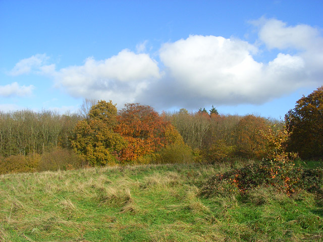
Pasture and woodland edge, Knowl Hill. The southern edge of Ashley Hill Forest viewed from the public footpath that forms the direct route between Knowl Hill and the top of Ashley Hill.


