Lon Las Peris Cycle Track
1.7 miles (2.8 km)
![]()
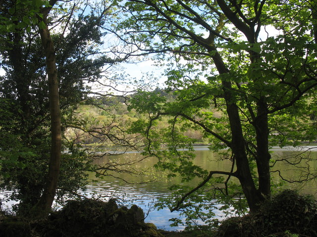
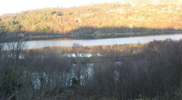
![]() This cycle trail takes you along the beautiful Llyn Padarn on an old railway line.
This cycle trail takes you along the beautiful Llyn Padarn on an old railway line.
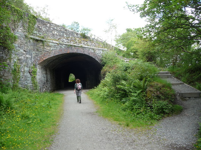
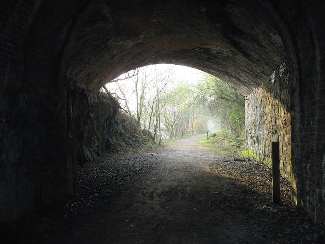
You can pick up the tree lined trail in the village of Llanberis on the southern side of the lake. Then follow the surfaced path west along the water to the Llanberis tunnel. The route then crosses the lake on Pont Pennlyn to finish at Penllyn, at the western end of the lake.
To continue your cycling in the area head south east to pick up the Llanberis Pass Cycle Route. The more challenging route passes between the mountain ranges of the Glyderau and the Snowdon massif.
Lon Las Peris Ordnance Survey Map  - view and print off detailed OS map
Lon Las Peris Open Street Map  - view and print off detailed map
Lon Las Peris OS Map  - Mobile GPS OS Map with Location tracking
Lon Las Peris Open Street Map  - Mobile GPS Map with Location tracking
Cycle Routes and Walking Routes Nearby
Photos
Lon Las Peris. This cycle and walking track follows the line of the old Llanberis-Caernarfon railway.


