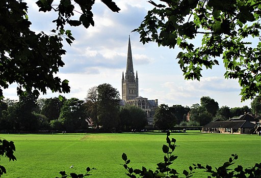
Norwich To Wroxham
18 miles (29 km)
![]()
![]() This route follows the opening section of the Rebellion Way from the city of Norwich to Wroxham in the Norfolk Broads.
This route follows the opening section of the Rebellion Way from the city of Norwich to Wroxham in the Norfolk Broads.
The route runs for just over 18 miles, following a series of quiet lanes through some pleasant Norfolk countryside. Starting in the centre of Norwich you head north east passing through Mousehold Heath and Panxworth before coming to Ranworth Broad. From here you head west, following a series of broads before arriving in Wroxham. It's a very pretty Broads town with lovely riverside walks and the option to extend your outing on the popular Bure Valley Path.


