Okeford Hill
![]()
![]() Visit Okeford Beacon in Dorset and enjoy cycling and walking trails with wonderful views. You can park at the Okeford Hill Picnic Site, about a mile to the south of Okeford Fitzpaine. From here you can pick up the Wessex Ridgeway trail to explore the woodland and countryside around Okeford Hill. Many other tracks will take you into Blandford Forest or you can head south west towards Bell Hill and Ibberton Hill.
Visit Okeford Beacon in Dorset and enjoy cycling and walking trails with wonderful views. You can park at the Okeford Hill Picnic Site, about a mile to the south of Okeford Fitzpaine. From here you can pick up the Wessex Ridgeway trail to explore the woodland and countryside around Okeford Hill. Many other tracks will take you into Blandford Forest or you can head south west towards Bell Hill and Ibberton Hill.
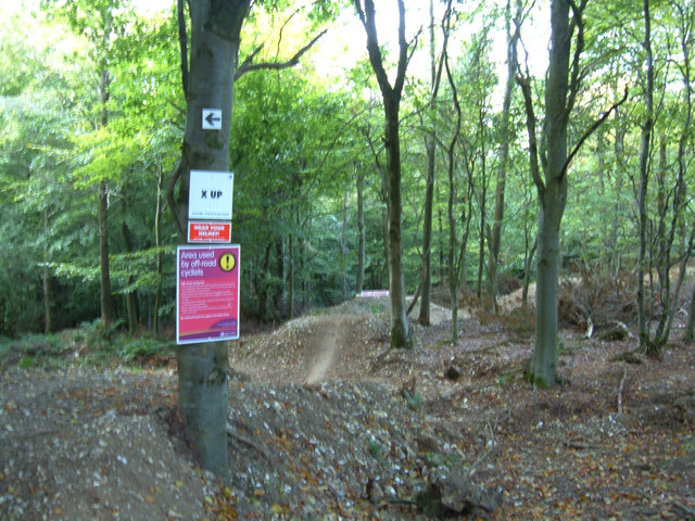
The area is also home to Okeford Hill Mountain Bike Park. Here you can try a variety of downhill mountain bike trails. See the video below for a sample of what you can expect! There's also bridleways for cyclists at Shillingstone Hill and Blandford Forest.
Postcode
DT11 0EE - Please note: Postcode may be approximate for some rural locationsOkeford Hill Ordnance Survey Map  - view and print off detailed OS map
Okeford Hill Open Street Map  - view and print off detailed map
Okeford Hill OS Map  - Mobile GPS OS Map with Location tracking
Okeford Hill Open Street Map  - Mobile GPS Map with Location tracking
Explore the Area with Google Street View 
Pubs/Cafes
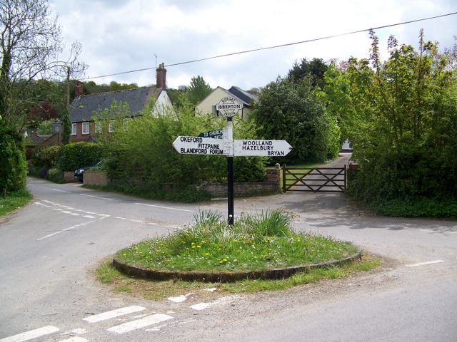
Head west from the hill and you can visit the pretty village of Ibberton where there are good refreshments options including the noteworthy Ibberton pub. The inn has an interesting history stretching all the way back to the 16th century. It has retained original features such as flagstone floors, beams and inglenook fireplace complete with bread oven. Outside there's two gardens with a trickling stream running through. It's a lovely spot to relax in on a fine summer day. You can find the pub on Church Lane with a postcode of DT11 0EN for your sat navs.
Dog Walking
The hill and the surrounding woodland are a great place to bring your dog for a walk. The Ibberton mentioned above is dog friendly too if you have your furry friend with you.
Further Information and Other Local Ideas
In nearby Ibberton you could visit the interesting St. Eustace Church which dates back to the 14th century. Here you can also pick up the Ibberton Millennium Path which explores the area on a waymarked path.
Head north and you could visit the delightful old town of Sturminster Newton. There's nice riverside trails along the Stour Valley Walk and the historic Sturminster Mill to visit here.
For more walking ideas in the area see the Dorset Walks page.
Cycle Routes and Walking Routes Nearby
Photos
View from Okeford Hill. Standing atop Okeford Hill nearly all of the Blackmore Vale can viewed, this view stretches all the way to Shaftsbury, just visible in the distance
Beacon on Okeford Hill. This is one of the national grid of beacons lit up on occasions of celebration. When lit it can be seen for miles across the Blackmore Vale and North Dorset.
Mountain Bike Freeride. A downhill course specially constructed by the Forestry Commission. There are plenty of notices around each of the technical sections warning of the dangers. A 17 August 2006 Forestry Commission press release introduces the course to the public at large. It is accessed from the bridleway leading off the minor road between Okeford Fitzpaine and Turnworth.
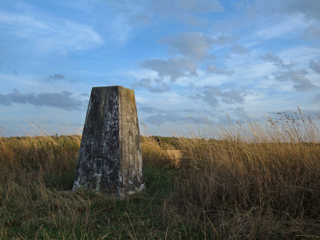
Shillingstone Hill, Wessex Ridgeway. This hill lies just to the east of Okeford Hill. You could climb up to the 223 metre high trig point pictured here.


