Riverside Country Park
![]()
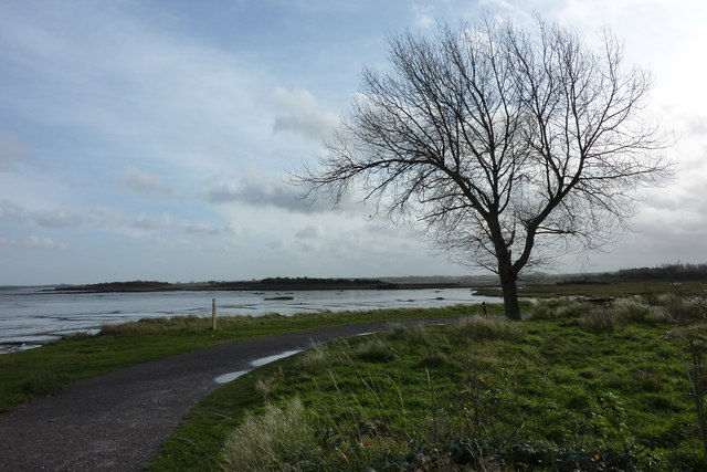
![]() Explore the Medway Estuary in 250 acres of country park in Gillingham, Kent.
Explore the Medway Estuary in 250 acres of country park in Gillingham, Kent.
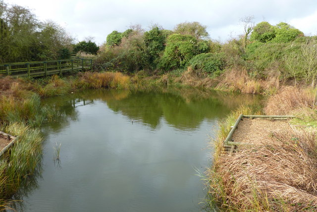
The estuary is a haven for wildlife with ducks and waders thriving on the invertebrate-rich mudflats, while the reedbeds are an important breeding area for birds such as the sedge and reed warbler. The park includes waymarked walks, cycle and bridle routes, play areas, and picnic areas while there is also a visitor centre with natural history displays and information panels. At the eastern end of the site you can head up to Horrid Hill.
A signed, traffic free National Cycle Network path runs through the park. If you are on your bike you can pick up the trail and head west into Rochester with its fine castle. Heading east will take you through Sittingbourne to the Kent coast at Whitstable. See the London to Whitstable Cycle Route for full details.
If you are on foot then the Saxon Shore Way also runs through the park. Follow this long distance trail east and you can explore the Swale Estuary.
Postcode
ME7 2XH - Please note: Postcode may be approximate for some rural locationsPlease click here for more information
Riverside Country Park Ordnance Survey Map  - view and print off detailed OS map
Riverside Country Park Open Street Map  - view and print off detailed map
Riverside Country Park OS Map  - Mobile GPS OS Map with Location tracking
Riverside Country Park Open Street Map  - Mobile GPS Map with Location tracking
Pubs/Cafes
There's an on site cafe selling a good range of meals and snacks.
Dog Walking
The park trails are a great place for some dog walking. It's a popular place so expect to meet other owners on your visit.
Cycle Routes and Walking Routes Nearby
Photos
A bit of an old wreck in Sharp's Green Bay. Off the Saxon Shore Way which runs through Riverside Country Park near Gillingham. Kingsnorth Power Station, seen in the background, is a dual-powered coal and oil power station on the Hoo Peninsula at Medway. It is due to close in 2016 but its proposed replacement has been the cause of much criticism and protest.
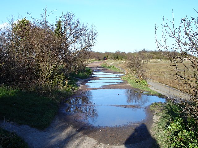
Flooded causeway, Horrid Hill. Generally speaking the paths in Riverside Country Park are very good but recent stormy weather has left large puddles across this one. Fortunately there is a narrow bypass on the left so I didn't get my feet wet. This causeway was built to join the island of Horrid Hill to the mainland. A cement works was built on Horrid Hill and a small horse-drawn railway used it to carry wagonloads of chalk, quarried from Twydall chalk pit.
Derelict Barge, Riverside Country Park. This barge is grounded on the mud beside the causeway to Horrid Hill. Kingsnorth Power Station in the background across Nor Marsh and the Medway.
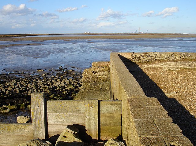
Quay at Horrid Hill. Horrid Hill was an island until a causeway was built to allow a small horse-drawn railway to carry wagonloads of chalk, quarried from Twydall chalk pit, to the cement works. Warship hulks containing French prisoners of war were moored here during the Napoleonic Wars. It is now part of Riverside Country Park. On the horizon, beyond Nor Marsh are the storage tanks of the disused oil refinery, cranes at Thamesport and Grain Power Station.

