Spa Trail - Woodhall Spa to Horncastle
![]()
![]() This shared walking and cycle route takes you along the Spa Trail from Woodhall Spa to Horncastle in Lincolnshire.
This shared walking and cycle route takes you along the Spa Trail from Woodhall Spa to Horncastle in Lincolnshire.
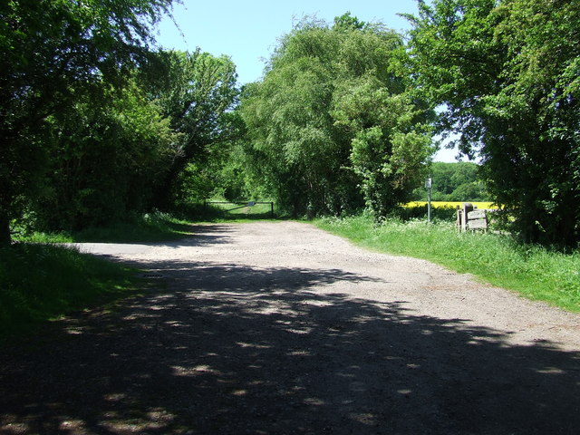
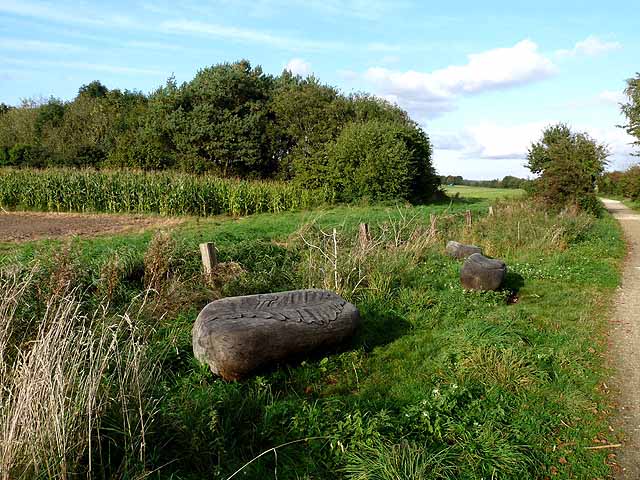
The easy trail runs for just over 6 miles, following a dismantled railway and the River Bain between the two settlements. It's a good surfaced path with wildlife sculptures, old railway bridges, benches to rest on, picnic areas and fine views of the surrounding countryside to enjoy on the way.
Starting in Woodhall Spa you head north east, passing Highall Wood, White Hall Wood and the picnic site at Martin. The route then joins with the River Bain around Thornton before coming into the interesting old Roman town of Horncastle.
If you would like to continue your cycling in the area you could pick up the circular Woodhall Spa Cycle Trail or follow the popular Water Rail Way to Lincoln.


