Suffolk Coast Regional Cycle Route 41
![]()
![]() This long distance regional cycle route follows trails through the lovely Suffolk Coast AONB.
This long distance regional cycle route follows trails through the lovely Suffolk Coast AONB.
The route also includes a section along National Cycle Route 1 to turn it into a circular ride. There's much to enjoy with a series of historic villages, nature reserves, ancient castles and several rivers.
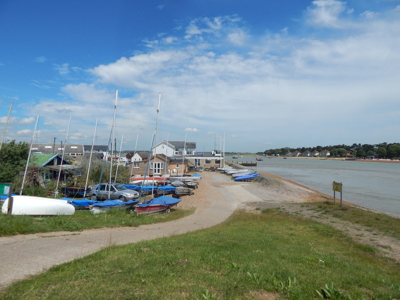
You start of in Felixstowe and then head east towards the coast at Felixstowe Ferry. Here you catch the ferry over the River Deben and continue to Alderton and Orford, crossing the River Botley on the way. In Orford there's boat trips along the River Ore, an ancient castle and the wildlife rich Orford Ness Nature Reserve.
You continue north to Aldeburgh and Snape Maltings, a picturesque area on the River Alde. The nature reserve here includes reedbeds, wet woodland and marshland with lots of wildlife to see.
The next stage takes you north to Bruisyard where you pick up NCN Route 1. Follow this south west and it will take you past the historic Framlingham Castle, Easton, Dallinghoo and Woodbridge where there is a pretty quay and old mill on the River Deben.
The final section runs from Woodbridge to Felixstowe, passing Waldringfield, Newbourne and Kirton on the way.
Suffolk Coast Regional Cycle Route 41 Ordnance Survey Map  - view and print off detailed OS map
Suffolk Coast Regional Cycle Route 41 Open Street Map  - view and print off detailed map
Suffolk Coast Regional Cycle Route 41 OS Map  - Mobile GPS OS Map with Location tracking
Suffolk Coast Regional Cycle Route 41 Open Street Map  - Mobile GPS Map with Location tracking
Further Information and Other Local Ideas
The route passes close to the expansive Tunstall Forest where you could take a detour to enjoy some fine mountain bike trails.
Cycle Routes and Walking Routes Nearby
Photos
Snape Maltings, near to Snape, Suffolk, Great Britain. A view of the maltings in the morning, before the tourist flock. The archway nearest was where the Snape branch line entered the complex for goods loading.


