Woodgate Valley Country Park
![]()
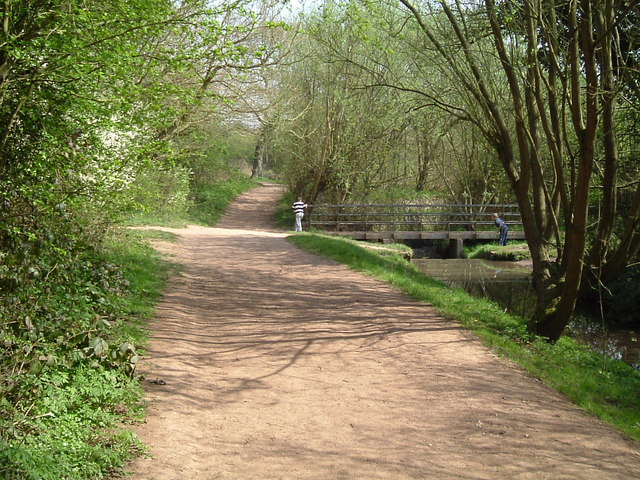
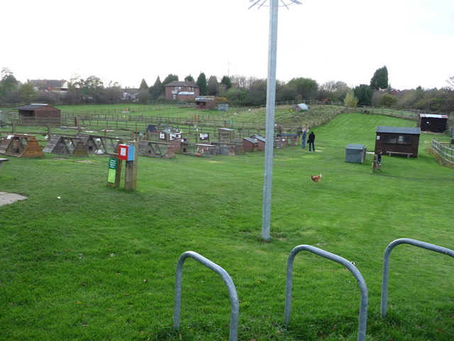
![]() A short route around the delightful Woodgate Valley Country Park in Birmingham. The park contains 450 acres of rich meadows, woodland and small ponds with the Bourn brook running through the heart of the park. There is also an excellent visitor centre and an Urban Farm with a variety of animals to see.
A short route around the delightful Woodgate Valley Country Park in Birmingham. The park contains 450 acres of rich meadows, woodland and small ponds with the Bourn brook running through the heart of the park. There is also an excellent visitor centre and an Urban Farm with a variety of animals to see.
To continue your walking in the area you could head a couple of miles to the west and visit the pretty Leasowes Park. Here you'll find more good footpaths taking you to 141 acres of woodland, grassland, streams, waterfalls and large ponds.
The Illey Way also starts from Woodgate. The path runs along an old railway line from Waseley Hills to Woodgate, passing through some nice countryside.
The multi user Bourn Brook Walkway also runs to the park from the university at Harbourne Lane.
Please click here for more information
Woodgate Valley Country Park Ordnance Survey Map  - view and print off detailed OS map
Woodgate Valley Country Park Open Street Map  - view and print off detailed map
Woodgate Valley Country Park OS Map  - Mobile GPS OS Map with Location tracking
Woodgate Valley Country Park Open Street Map  - Mobile GPS Map with Location tracking
Further Information and Other Local Ideas
Just to the north there's the pretty Warley Woods to visit. The popular park includes woodland, nature trails, a wildflower area and a nine hole golf course. Right next to Warley Woods there's also Lightwoods House and Park. Here you'll find an 18th century mansion surrounded by pleasant parkland with a walled garden. Both parks are located about 2 miles north of Woodgate Valley Park.
Cycle Routes and Walking Routes Nearby
Photos
Footpath through Woodgate Valley Country Park. This footpath runs from near the Visitor Centre towards the Bourn Brook. The enclosed fields to either side are grazed by horses from the Hole Farm Trekking Centre
Visitor Centre. Woodgate Valley Country Park is an area of countryside in the heart of Bartley Green and Quinton. The park comprises 450 acres of meadows, hedgerows and woodland with the Bourn Brook running through its centre. Originally a mosaic of farms and smallholdings the park has retained much of its rural character. The visitor centre is located off Clapgate Lane, and is the base for the rangers, as well as housing a cafe.


