Aldermans Hill
![]()
![]() This circular walk climbs to Alderman's Hill for great views over Dovestone Reservoir below.
This circular walk climbs to Alderman's Hill for great views over Dovestone Reservoir below.
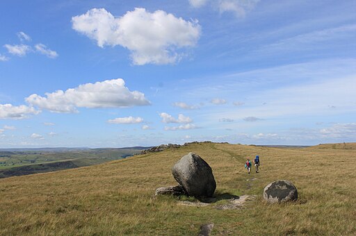
You can start the walk from the Dovestone car park at the northern end of the reservoir. From here it is a short climb to the west to Alderman's Brow and the hill. At the hill summit you will find an Obelisk War Memorial with fine views over the surrounding Peak District countryside. You can also see the series of reservoirs below which include the nearby Yeoman Hey and Greenfield Reservoir.
At the Obelisk you pick up a section of the Oldham Way to take you towards Dick Hill. The route then turns south toward Alderman's Hill, before descending back down to the reservoir.
For a longer walk around the area try the Pots and Pans Walk. This starts in the nearby village of Saddleworth and includes a number of interesting rock formations at the summit. Bakc at the car park you can extend the walk by picking up a nice waterside path along the reservoir.
Aldermans Hill Ordnance Survey Map  - view and print off detailed OS map
Aldermans Hill Open Street Map  - view and print off detailed map
Aldermans Hill OS Map  - Mobile GPS OS Map with Location tracking
Aldermans Hill Open Street Map  - Mobile GPS Map with Location tracking
Pubs/Cafes
After your exercise head west into the village of Greenfield and enjoy refreshments at the King William IV Hotel on Chew Valley Rd, OL3 7DD. There's a great menu and a lovely beer garden to sit out and relax in when the weather is fine.


