Allan King's Way
![]()
![]() Follow this splendid walking path from Portchester to Winchester and enjoy the wonderful Hampshire countryside.
Follow this splendid walking path from Portchester to Winchester and enjoy the wonderful Hampshire countryside.
You start off at the medieval Portchester Castle at the head of Portsmouth Harbour. The route then heads north towards Fareham and then onto Fort Nelson, one of five defensive forts built on the summit of Portsdown Hill in the 1860s. From here you continue to the town of Bishop's Waltham.
Here you'll find the moated Bishop's Palace ruin built in 1135.
The final section of the walk takes you through the beautiful Itchen Valley and along the River Itchen to Winchester where the walk finishes near the splendid cathedral.
Allan King's Way Ordnance Survey Map  - view and print off detailed OS map
Allan King's Way Open Street Map  - view and print off detailed map
Allan King's Way OS Map  - Mobile GPS OS Map with Location tracking
Allan King's Way Open Street Map  - Mobile GPS Map with Location tracking
Cycle Routes and Walking Routes Nearby
Photos
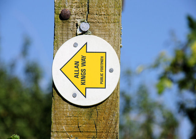
Waymark, King's Way. This waymark is on a finger post to the north of Tichborne, at the junction of Allan King's way and a local path to Godwin's farm.
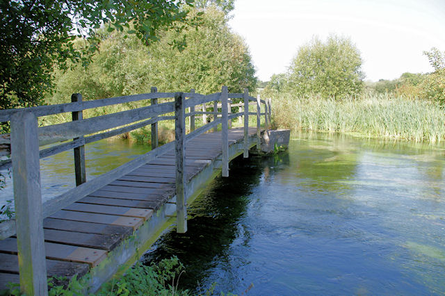
Footbridge, Ovington. This bridge takes the Itchen Way and Allan King's Way footpaths across the river Itchen from Ovington towards Itchen Stoke.
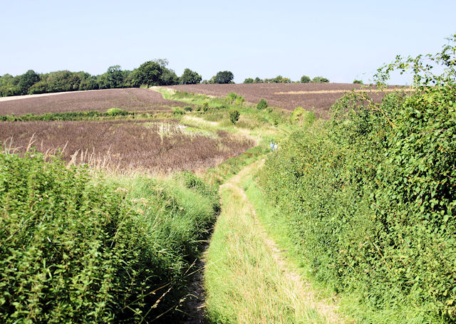
St Swithun's Way and King's Way to the north of Abbotts Barton, looking south. To the left is the flat marshland of the Itchen flood plain and to the right an arable field rises on the chalk.
Approaching Martyr Worthy. Heading west along the combined Itchen Way, Three Castles Path, St Swithun's Way, Allan King's Way
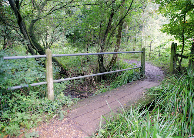
Itchen Way Heading South, Abbots Worthy. It is not obvious from the OS map - and ivy was hiding the waymarks on this finger post - but the Itchen Way crosses the river here. Downstream it joins the Three Castles Path heading for Winchester on the left bank, and upstream it joins St Swithun's Way and King's Way heading towards Martyr Worthy.
Elevation Profile


