Allen Banks and Staward Gorge
![]()
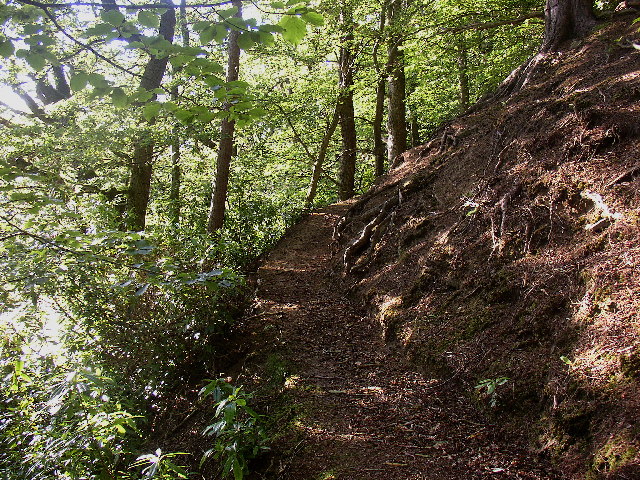
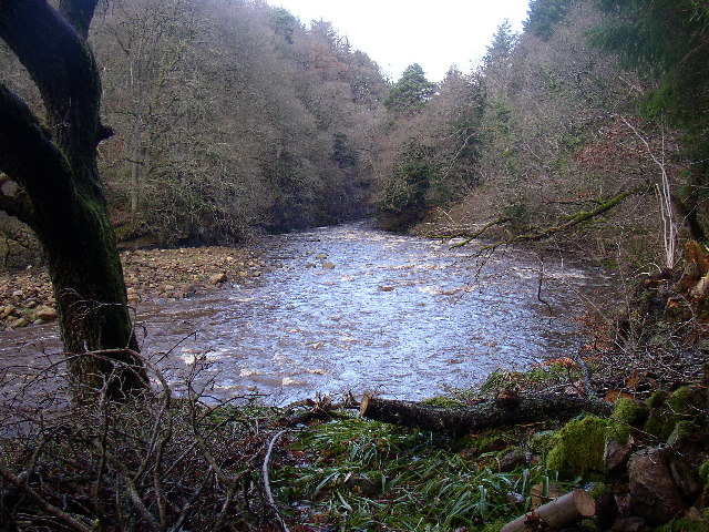
![]() Enjoy a waterside walk along the River Allen and through a beautiful wooded gorge on this easy walk in the North Pennines AONB.
Enjoy a waterside walk along the River Allen and through a beautiful wooded gorge on this easy walk in the North Pennines AONB.
The area is managed by the National Trust so the paths are well maintained and waymarked.
The walk starts at the National Trust car park and heads south along the western side of the river to Plankey Mill. You'll pass Raven Crag and a pretty waterfall on the way. At Plankey Mill you cross to the other side the river and return on the eastern side, passing Morralee Woods as you go.
The area is a nature reserve so there is an abundance of wildlife on the walk. Look out for dipper, grey wagtail, kingfisher, heron, roe deer and otter.
The area is located near Bardon Mill, Hexham. Bardon Mill train station is just over a mile from start point for the walk. You can easily follow the River South Tyne from the station to Allen Banks.
Postcode
NE47 7BP - Please note: Postcode may be approximate for some rural locationsPlease click here for more information
Allen Banks and Staward Gorge Ordnance Survey Map  - view and print off detailed OS map
Allen Banks and Staward Gorge Open Street Map  - view and print off detailed map
Allen Banks and Staward Gorge OS Map  - Mobile GPS OS Map with Location tracking
Allen Banks and Staward Gorge Open Street Map  - Mobile GPS Map with Location tracking
Dog Walking
The woodland and river paths are ideal for dog walking so you'll probably see plenty of other owners on a fine day. There are some farm animals in the area so it's best to keep them on leads in these areas.
Further Information and Other Local Ideas
The site is located just a few miles south of one of the highlights of the area at Housesteads Roman Fort. Here you can explore the fascinating old fort and pick up the epic Hadrian's Wall Path.
Head south of the site and you can visit the village of Allendale. The stone built village is very pretty and was twice crowned Village of the Year for All England. There are some nice walks here along the River East Allen.
Head east and you could pick up the Haydon Bridge Walk from the nearby village. The walk will take you to the historic Langley Castle which dates from the 14th century. In the village itself there's a fine 17th century inn and a noteworthy 14th century bridge over the river.
For more walking ideas in the area see the Northumberland Walks and North Pennines Walks pages.


