GPS Cycle and Walking Routescycle iconwalk icon

Alum Chine Walk

0.9 miles (1.4 km)

Ordnance Survey Map Open Streetmap This walk takes you through Alum Chine in Westbourne on the Dorset coast. Alum Chine is the largest of the four Chines within Bournemouth.
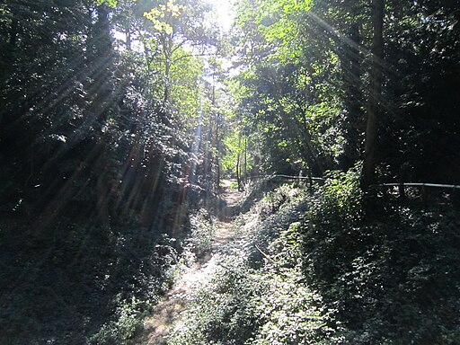
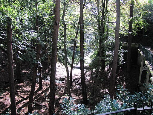
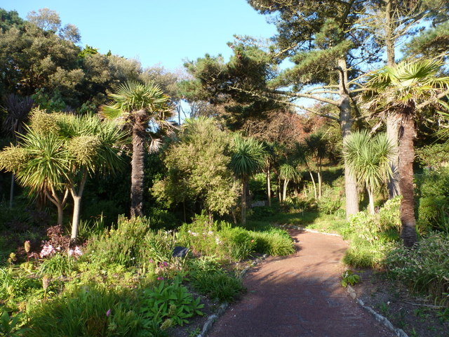
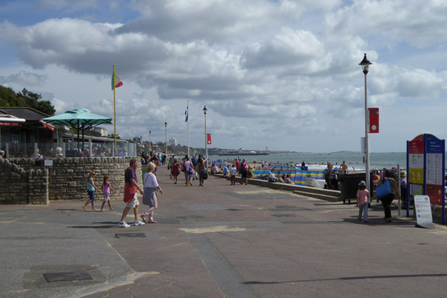
You can start the walk on West Cliff Road in Westbourne and then follow the footpath down through the wooded chine. The pleasant, shady trail runs for just under mile, passing the suspension bridge before coming to Alum Chine Tropical Gardens. It's a fine place for a stroll with good footpaths taking you around a wide variety of interesting plants and flowers. From here there are also great views out to sea and down to the lovely blue flag beach.
To continue your walking you could pick up the Bournemouth Coast Path and follow it towards Bournemouth or Sandbanks.

Alum Chine OS Map Ordnance survey map - Mobile GPS OS Map with Location tracking

Alum Chine Open Street Map Open Streetmap - Mobile GPS Map with Location tracking

Cycle Routes and Walking Routes Nearby

Photos

Alum Chine suspension bridge, Bournemouth - geograph.org.uk - 3822667

Alum Chine suspension bridge, Bournemouth

Alum Chine, Bournemouth - panoramio (4)

Alum Chine, Bournemouth - panoramio (2)

Alum Chine tropical gardens - geograph.org.uk - 483882

Alum Chine tropical gardens

Westbourne, tropical gardens on a tropical weekend - geograph.org.uk - 2629203

Westbourne, tropical gardens on a tropical weekend

Westbourne, lion in Alum Chine gardens - geograph.org.uk - 2588866

Westbourne, lion in Alum Chine gardens

Poole Bay Walk 07 - geograph.org.uk - 4151822

The beach at Alum Chine

Westbourne, Italian flag at Alum Chine - geograph.org.uk - 3391000

Westbourne, Italian flag at Alum Chine

Video

GPS Files

GPX File

Alum Chine.gpx (On Desktop:Right Click>Save As. On Ipad/Iphone:Click and hold>Download Linked File)