Amman Valley
![]()
![]() This shared cycling and walking trail runs through the Amman Valley from Pantyffynnon to Brynamman via Ammanford.
This shared cycling and walking trail runs through the Amman Valley from Pantyffynnon to Brynamman via Ammanford.
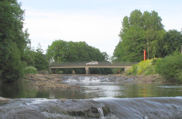
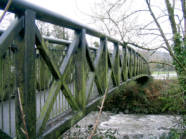
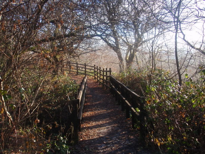
You'll follow a fairly flat traffic free path running along the River Amman with some splendid views to the surrounding mountains to enjoy on the way.
The route starts just to the north of Pantyffynnon following the railway line and the river north east to Ammanford. Here you leave the river to follow roads through the town before coming to the river around Pontamman. Woodland and river trails then continue east to Glanaman and Garnant. The final section runs past Cwm Aman before finishing at Brynamman.
The route is part of National Cycle Route 437 which runs from Ammanford to Brynamman and Cwmllynfell.
At the end of the route you could visit the lovely Brynamman Ynys Dawela Nature Park.
Amman Valley Ordnance Survey Map  - view and print off detailed OS map
Amman Valley Open Street Map  - view and print off detailed map
Amman Valley OS Map  - Mobile GPS OS Map with Location tracking
Amman Valley Open Street Map  - Mobile GPS Map with Location tracking
Cycle Routes and Walking Routes Nearby
Photos
South gate of Pantyffynnon to Ammanford cycle path. The sign shows the destinations along the trail with the estimated cycling and walking times also displayed.


