Ampfield Woods
![]()
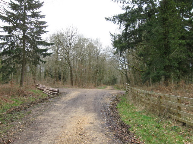
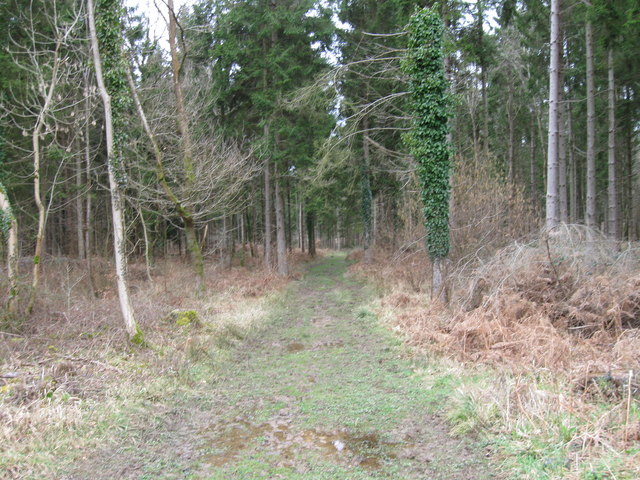
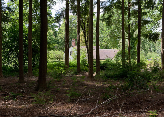
![]() This large woodland area near Hursley has miles of walking trails to try. You can reach the woods by following the Monarch's Way west from the village. In the woods you can see bluebells in the spring and look out for wildlife including deer and various woodland birds.
This large woodland area near Hursley has miles of walking trails to try. You can reach the woods by following the Monarch's Way west from the village. In the woods you can see bluebells in the spring and look out for wildlife including deer and various woodland birds.
The woods are located close to the town of Romsey where you can enjoy a stroll along the Andover Canal on the Romsey Canal Walk. You could also continue west along the Monarch's Way and head through the countryside to Michelmersh and visit the splendid Mottisfont Abbey. The 13th century Augustinian priory is surrounded by glorious grounds and is a major highlight of the area.
Ampfield Woods Ordnance Survey Map  - view and print off detailed OS map
Ampfield Woods Open Street Map  - view and print off detailed map
Ampfield Woods OS Map  - Mobile GPS OS Map with Location tracking
Ampfield Woods Open Street Map  - Mobile GPS Map with Location tracking
Pubs/Cafes
In Hursley you could head to the historic Dolphin pub for some post walk refreshments. The roadside village pub, once part of the Hursley Estate which encompassed much of the village, stands as a notable example of 16th-century recycling.
It is believed to have been constructed using timbers from an early HMS Dolphin, which is reflected in the pub's name. The interior is adorned with photographs and stories of local history, particularly focusing on various HMS Dolphins. While the pub is mostly one large room served by a central bar, brick and timber pillars maintain a sense of separation, and there's a discreet dining area tucked away on the far side of the bar. At the rear, a garden with benches and a children's play area provides outdoor space, and adjacent stables have been converted into two large en-suite rooms. The pub offers a diverse menu, including griddle meals, burgers, and a specials board. You can find them at postcode SO21 2JY.


