Amroth to Saundersfoot Walk
![]()
![]() A short walk along a delightful stretch of the Pembrokeshire Coast. The route takes you between the lovely villages of Amroth and Saundersfoot, with pretty beaches, cliff tops and coastal views.
A short walk along a delightful stretch of the Pembrokeshire Coast. The route takes you between the lovely villages of Amroth and Saundersfoot, with pretty beaches, cliff tops and coastal views.
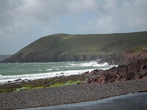
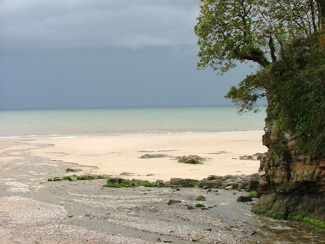
The walk is about 2.5 miles with a moderate climb at the start before a nice flat path leads you into Saundersfoot. Along the way you'll pass the long sandy beach in Amroth and the rocky beach at Wiseman's Bridge. In Saundersfoot the walk finishes, passing another nice beach and the lovely harbour.
To extend your walking in Amroth you can visit Amroth and Colby Woodland Garden, just to the north of the village. The National Trust owned property has some good woodland trails to try.
You could also continue on the Pembrokeshire Coast Path to nearby Tenby.
On the google street view link below you can virtually explore the coast path!
Amroth to Saundersfoot Ordnance Survey Map  - view and print off detailed OS map
Amroth to Saundersfoot Open Street Map  - view and print off detailed map
*New* - Walks and Cycle Routes Near Me Map - Waymarked Routes and Mountain Bike Trails>>
Amroth to Saundersfoot OS Map  - Mobile GPS OS Map with Location tracking
Amroth to Saundersfoot Open Street Map  - Mobile GPS Map with Location tracking
Explore the Area with Google Street View 
Pubs/Cafes
The Wiseman's Bridge Inn is in a great location on the beach in the little hamlet. They serve good quality dishes and also provide rooms if you wish to stay in the area.
Further Information and Other Local Ideas
If you head east along the Wales coast path you can visit the wonderful Pendine Sands on the Pendine to Amroth Coastal Path. The wide beach is the location of many world land speed record attempts by people such as Sir Malcolm Campbell in Bluebird.
Cycle Routes and Walking Routes Nearby
Photos
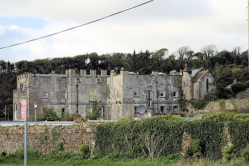
Amroth Castle. A Grade I listed building on the walk. It is a castellated country house dating mainly from the 18th century built on an earlier, probably 15th century, residence, and is now a holiday venue.


