Anglesey Abbey and Quy Fen
![]()
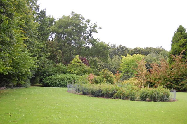
![]() Explore 114 acres of beautiful gardens surrounding this Jacobean mansion in Cambridge.
Explore 114 acres of beautiful gardens surrounding this Jacobean mansion in Cambridge.
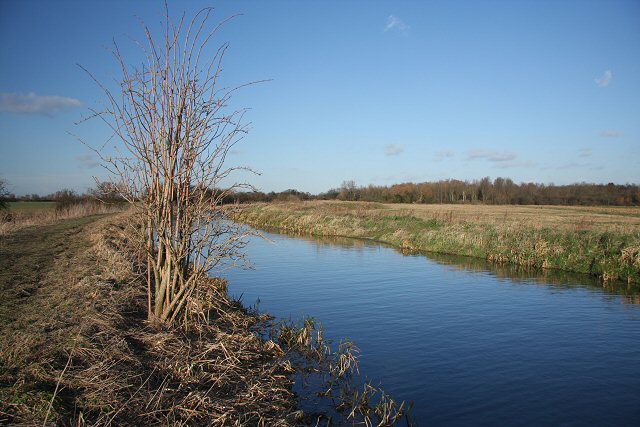
You can stroll around the ornate statue garden with its mythological and biblical subjects before a peaceful walk down one of the tree lined avenues. There are plenty of wide open spaces with expansive lawns and pretty wildflower meadows - perfect for a summer picnic. There's also a waterside stroll along Quy Water and a visit to the working 18th century watermill where you can watch them grind wheat into flour, then buy some fresh from the chute.
In the house you can view the 36 strong collection of clocks and the extensive works of art collected by Lord Fairhaven. The dining room is the only room surviving from the Augustinian priory that once stood on the site.
Anglesey Abbey is located just a few miles east of Cambridge city centre.
Anglesey Abbey Ordnance Survey Map  - view and print off detailed OS map
Anglesey Abbey Open Street Map  - view and print off detailed map
*New* - Walks and Cycle Routes Near Me Map - Waymarked Routes and Mountain Bike Trails>>
Anglesey Abbey OS Map  - Mobile GPS OS Map with Location tracking
Anglesey Abbey Open Street Map  - Mobile GPS Map with Location tracking
Further Information and Other Local Ideas
The Lodes Way passes the site. This circular walk or cycle follows National Cycle Route 11 through the Cambridgeshire Lodes, a series of ancient man made waterways created to link a series of Fenland villages to the River Cam.
Photos
The Augustinian priory at Anglesey was built in 1236 and dissolved by Henry VIII in 1536. The site was then turned into a country house. It was acquired by Lord Fairhaven and his brother, Henry Broughton, in 1926 and they brought it to its present condition. It came under the care of the National Trust in 1966 who describe the present buildings as "One man's vision of English country living - an early 20th century luxury home lovingly created from the remnants of 800 years of change".
Lightning tree. Stark proof that, despite the adage, lightning can strike the same place twice. This giant redwood (Sequoiadendron giganteum) just outside Anglesey Abbey was struck on 5 July 1999 for the second time in twelve years.


