Badby Woods
![]()
![]() These pretty woods near Daventry have miles of good woodland trails to try. The woods are located just to the south of the village of Badby and are famous for carpets of bluebells in the spring months. You could follow the waymarked Knightley Way to the western edge of the woods and then pick up the trails.
These pretty woods near Daventry have miles of good woodland trails to try. The woods are located just to the south of the village of Badby and are famous for carpets of bluebells in the spring months. You could follow the waymarked Knightley Way to the western edge of the woods and then pick up the trails.
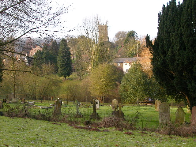
The village of Badby is also very pretty with picturesque stone and thatch cottages, village greens and a 14th century church.
You can extend your walk by continuing south along the Knightley Way to the lovely Fawsley Hall and Park. Here you will find several pretty lakes, an isolated church and an Elizabethan house.
The Nene Way also runs through the village. You could follow the path east along the River Nene to Newnham.
If you head west from Badby you will soon come to Arbury Hill, the joint highest point of Northamptonshire.
Just to the north east you will find Borough Hill in nearby Daventry.
Postcode
NN11 3AR - Please note: Postcode may be approximate for some rural locationsBadby Woods Ordnance Survey Map  - view and print off detailed OS map
Badby Woods Open Street Map  - view and print off detailed map
Badby Woods OS Map  - Mobile GPS OS Map with Location tracking
Badby Woods Open Street Map  - Mobile GPS Map with Location tracking
Pubs/Cafes
Head into Badby village and you could enjoy some post walk refreshment at Maltsters Country Inn. They serve a fine Sunday lunch which you can enjoy in the lovely garden area if the weather is fine. You can find them on The Green at postcode NN11 3AF for your sat navs.
There's also the historic Windmill which is housed in a 17th century stone built thatched roofed building. They are popular with walkers and located on Main Street at postcode NN11 3AN.
Dog Walking
As you'd expect the woodland trails are ideal for dog walking. The Maltsters mentioned above is also dog friendly.
Further Information and Other Local Ideas
The nearby Daventry Country Park is a good option for continuing your exercise. There's good waterside trails around the park's lake and lots of wildlife to see in the nature reserve area. Drayton Reservoir is also near here on the Middlemore Estate.
Just to the east there's more pleasant woodland trails around the Everdon Stubbs Nature Reserve near the neighbouring village of Everdon.
For more walking ideas in the area see the Northamptonshire Walks page.


