Barons Haugh Walk
3.4 miles (5.4 km)
![]()
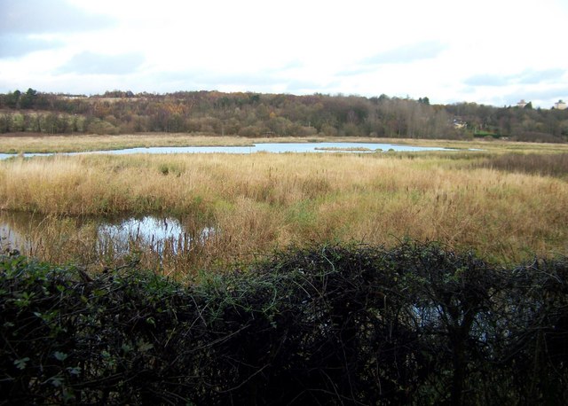
![]() This RSPB Nature reserve in Motherwell has some pleasant walking trails to try.
This RSPB Nature reserve in Motherwell has some pleasant walking trails to try.
In the reserve you'll find waterside footpaths along the lakes and the River Clyde. There's also peaceful woodland trails and lots of wildlife to see. Keep your eyes peeled for birds such as Gadwall, Kingfisher and Wigeon around the water. In the woods you may also spot a deer if you are lucky.
The Clyde Walkway runs through part of the site. You could extend your outing by following the riverside trail north to visit the beautiful loch at Strathclyde Country Park. On the opposite side of the river there's also Chatelherault Country Park with its ruined castle and pleasant woodland trails.
Postcode
ML1 2QW - Please note: Postcode may be approximate for some rural locationsPlease click here for more information


