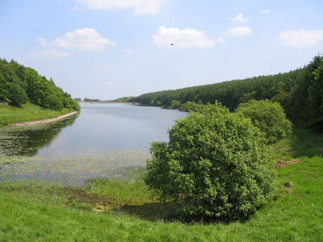
Beaver Dyke Reservoir
![]()
![]() This walk visits Beaver Dyke Reservoir, John O'Gaunt's Reservoir and Scargill Reservoir near Harrogate in North Yorkshire. It's a remote and peaceful spot with some lovely views over the water to the surrounding hills.
This walk visits Beaver Dyke Reservoir, John O'Gaunt's Reservoir and Scargill Reservoir near Harrogate in North Yorkshire. It's a remote and peaceful spot with some lovely views over the water to the surrounding hills.
Beaver Dyke Reservoir was decommissioned in 2015 and is now dry but the other two have nice waterside paths.
Start the walk at John O'Gaunt's Reservoir where you can pick up the Dales Way Link and follow the trail east along the water to Beaver Dyke and Liberty Farm. Here you can follow a trail south to visit Scargill Reservoir.
On the southern side of the first reservoir you will find the remaining ruins of John O' Gaunt's Castle. The castle was the hunting lodge of John O'Gaunt, Duke of Lancaster, who was Lord of the Manor of Knaresborough for 28 years until 1399. There's a nice view to the reservoir from here.
Postcode
HG3 1SJ - Please note: Postcode may be approximate for some rural locationsBeaver Dyke Reservoir Ordnance Survey Map  - view and print off detailed OS map
Beaver Dyke Reservoir Open Street Map  - view and print off detailed map
Beaver Dyke Reservoir OS Map  - Mobile GPS OS Map with Location tracking
Beaver Dyke Reservoir Open Street Map  - Mobile GPS Map with Location tracking
Further Information and Other Local Ideas
Head a mile or so west and you will come to Swinsty Reservoir and Fewston Reservoir. There's more nice lakeside and woodland walking trails to be found here.
Cycle Routes and Walking Routes Nearby
Photos
John O'Gaunt's Reservoir was built in 1800 and claims to be the oldest Yorkshire reservoir still in use.
This shot was taken from John O'Gaunt's Castle looking north-west over the reservoir. The farm on the horizon is known as 'Tree House'.


