Bedfont Lakes Country Park
![]()
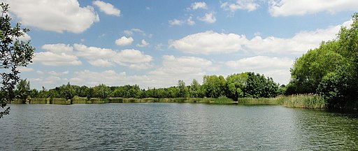
![]() This water-focused nature reserve, has 180 acres of rolling meadows, woodlands and lakes. Over 300 plants and 140 bird species have been recorded in the park. The park offers a wide range of activities including, walking, picnics, a trim trail, orienteering and fishing. Bedfont Lakes is located near Ashford train station.
This water-focused nature reserve, has 180 acres of rolling meadows, woodlands and lakes. Over 300 plants and 140 bird species have been recorded in the park. The park offers a wide range of activities including, walking, picnics, a trim trail, orienteering and fishing. Bedfont Lakes is located near Ashford train station.
Just to the north of the park there's the Longford River and views of the planes landing and taking off at Heathrow Airport.
Postcode
TW14 8QA - Please note: Postcode may be approximate for some rural locationsPlease click here for more information
Bedfont Lakes Country Park Ordnance Survey Map  - view and print off detailed OS map
Bedfont Lakes Country Park Open Street Map  - view and print off detailed map
Bedfont Lakes Country Park OS Map  - Mobile GPS OS Map with Location tracking
Bedfont Lakes Country Park Open Street Map  - Mobile GPS Map with Location tracking
Dog Walking
The park is a great place for a dog walk. There are some on lead areas but there is also a designated dog run where you dog run off the lead in a fenced area.
Further Information and Other Local Ideas
Just to the west you can continue your walking around Staines Moor. It's a lovely place for a walk with nice trails along the River Colne Valley Way and a series of large reservoirs.
Cycle Routes and Walking Routes Nearby
Photos
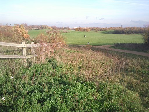
Bedfont Lakes Country Park. Wild flowers are a delightful feature of this country park. It was created in the 1990s from gravel pits & rubbish dumps.
Duke of Northumberland's River at Bedfont - water for mills and Syon House. The Duke of Northumberland's River is an early artificial waterway taking water from the Colne to the Crane and to Syon Park. A British History Online article on East Bedfont from the Victoria County History of Middlesex says it is "said to have been made by the convent of Syon in the time of Henry V." The water has been used for Twickenham and Isleworth mills and there were disputes between the mill owners who wanted the water for power, and the Dukes of Northumberland who wanted it for lakes in Syon Park. The river ran across the site of Heathrow Airport, was put into pipes underneath in the 1940s, but has recently been diverted around the south of the airport
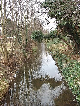
Longford River at Bedfont - water for Hampton Court. This is an artificial river about 12 miles long. The "This is Longford" website tells us it was dug on the orders of Charles 1. In 1638 he wanted water from the Colne to supply Hampton Court. The river runs from Longford, now at the north east corner of Heathrow Airport. Until recently it ran under the airport, but with the building of the 5th terminal it has been diverted around the south of the airport. The river remained crown property, and some bridges over it have the royal cypher.


