Benllech to Moelfre Coastal Path
![]()
![]() This walk follows a lovely section of the Anglesey Coast Path from Benllech to Moelfre. The settlements are located on the east of the island, few miles north of the Menai Bridge. The route runs for a distance of about 4 miles on a reasonably flat section of the path.
This walk follows a lovely section of the Anglesey Coast Path from Benllech to Moelfre. The settlements are located on the east of the island, few miles north of the Menai Bridge. The route runs for a distance of about 4 miles on a reasonably flat section of the path.
Start the walk at the attractive village of Benllech where there is a beautiful beach. Winner of the European Blue Flag award since 2004, the village's beach has an abundance of clean yellow sand and looks out toward the Great Orme and Penmon Point. From here you can pick up the waymarked coast path and follow it north to Traeth Bychan where there is a nice, sheltered little beach.
Shortly after you come into Moelfre where the route finishes. In the little village there's a harbour with pretty cottages and a small beach. To see the area's larger sandy beach head a short distance north and you will soon come to the lovely Lligwy Bay. The area is also of historical interest as it includes six scheduled Iron Age hut groups and many other sites of archaeological interest.
To extend your walking around Benllech you could visit the lovely Red Wharf Bay on the Benllech to Red Wharf Bay Walk. The bay is a lovely spot and includes the Ship Inn which is a great place to enjoy refreshments with a view. You could also continue along the coast on the Moelfre to Lligwy Bay Walk.
Benllech to Moelfre Coastal Path Ordnance Survey Map  - view and print off detailed OS map
Benllech to Moelfre Coastal Path Open Street Map  - view and print off detailed map
Benllech to Moelfre Coastal Path OS Map  - Mobile GPS OS Map with Location tracking
Benllech to Moelfre Coastal Path Open Street Map  - Mobile GPS Map with Location tracking
Pubs/Cafes
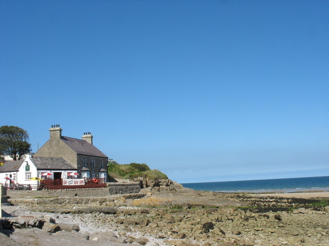
At the end of the walk head to the Kimmel Arms in Moelfre, for some well earned refreshments. The pub sits close to a small shingle beach and has fantastic, panoramic views of Moelfre Bay. The pub has a good menu and is also dog friendly with treats at the bar for your pet! You can find the pub at 8 Maes Hyfryd with a postcode of LL72 8HN for your sat navs.
Further Information and Other Local Ideas
Just to the west of the coastal path you'll find the noteworthy Mynydd Bodafon, the highest point on the Island of Anglesey. There are great views over the island from the 178 metre high summit.
Just to the south of Menai Bridge there's one of the highlights of the area at Plas Newydd. Here you'll find a National Trust owned mansion surrounded by beautiful parkland and gardens.
On the southern edge of Red Wharf Bay is the Pentraeth Forest where you can enjoy peaceful woodland trails, climb to Mynydd Llwydiarth and look out for the resident red squirrels.
For more walking ideas in the area see the Anglesey Walks page.
Cycle Routes and Walking Routes Nearby
Photos
Traeth Benllech. The beautiful sands at Benllech from the headland above Beach Road. Summer wildflowersin the foreground and the hills in the background can be seen in this shot.
Traeth Bychan. A small but popular beach near Marianglas. The beach faces eastwards and so offers shelter from the prevailing southwesterly winds. This was the spot where the submarine HMS Thetis was beached after a tragic accident which occurred off the coast, when the vessel was carrying out trials in 1939.
Slipway, Traeth Bychan. The area is utilised by the Red Wharf Bay Sailing and Watersports Club. Facilities include a café and public toilets, conveniently located within the pay & display car park. Close by are the small town of Benllech and the village of Marian-Glas.


