Beresford Dale
![]()
![]() This walk takes you into the pretty Beresford Dale National Nature Reserve in the Derbyshire Peak District. It's a very peaceful and attractive area of the Dove Valley with riverside paths, weirs, woodland, wildflowers and birdlife to enjoy.
This walk takes you into the pretty Beresford Dale National Nature Reserve in the Derbyshire Peak District. It's a very peaceful and attractive area of the Dove Valley with riverside paths, weirs, woodland, wildflowers and birdlife to enjoy.
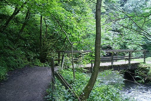
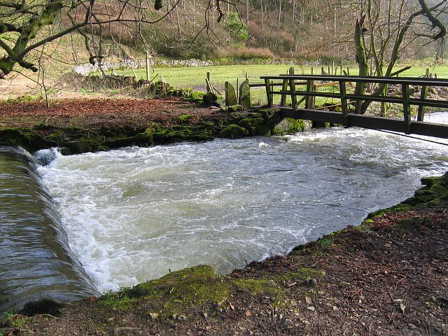
This circular walk starts from the village of Hartington. From the western side of the village you can pick up a footpath heading south into Beresford Dale. You'll soon come to the reserve where you'll pass a series of weirs, wooden footbridges, limestone scenery and a Pike Pool. Just before Wolfscote Dale the route turns around, picking up other footpaths and country lanes to return you to the village. Back in the village you can enjoy refreshments at the Devonshire Arms pub. The quaint old 17th century pub has a lovely large beer garden to relax in during the warmer months.
To extend your walk continue south to Wolfscote Dale, Milldale and the hugely popular Dovedale.
It's one of the highlights of the area and includes the iconic Dovedale Stepping Stones.
Beresford Dale Ordnance Survey Map  - view and print off detailed OS map
Beresford Dale Open Street Map  - view and print off detailed map
Beresford Dale OS Map  - Mobile GPS OS Map with Location tracking
Beresford Dale Open Street Map  - Mobile GPS Map with Location tracking
Further Information and Other Local Ideas
The circular walk from Hulme End starts from the nearby village where you'll find the car park and visitor centre for the Manifold Valley. It visits the dale and several other local highlights.
Cycle Routes and Walking Routes Nearby
Photos
Footbridge over the River Dove, Beresford Dale. There are several weirs along this stretch of the River Dove through Beresford Dale. The River Dove marks the Staffordshire/Derbyshire border, so each time you cross the river you also cross the county border. The footpath, over the footbridge, enters the flat pasture through a squeeze stile and continues on to Wolfscote Dale.


