Betsom's Hill Walk
![]()
![]() This circular walk explores the area around Betsom's Hill and Westerham Hill near Biggin Hill in Kent.
This circular walk explores the area around Betsom's Hill and Westerham Hill near Biggin Hill in Kent.
The hill is notable as the highest point in the county at 251 metres (823 ft). The area also includes Westerham Heights, the highest point of Greater London. There's some pleasant countryside and access to the North Downs from these points.
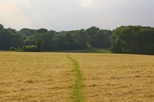
The walk starts from the village of South Street where there are amenities such as shops and pub. You can then pick up footpaths heading south towards the hill. You can follow public footpaths and the North Downs Way around the site with some pleasant countryside views to enjoy on the way.
To continue your walking in the area head west into Surrey to climb Botley Hill, the highest point in the North Downs.
Betsoms Hill Ordnance Survey Map  - view and print off detailed OS map
Betsoms Hill Open Street Map  - view and print off detailed map
Betsoms Hill OS Map  - Mobile GPS OS Map with Location tracking
Betsoms Hill Open Street Map  - Mobile GPS Map with Location tracking
Cycle Routes and Walking Routes Nearby
Photos
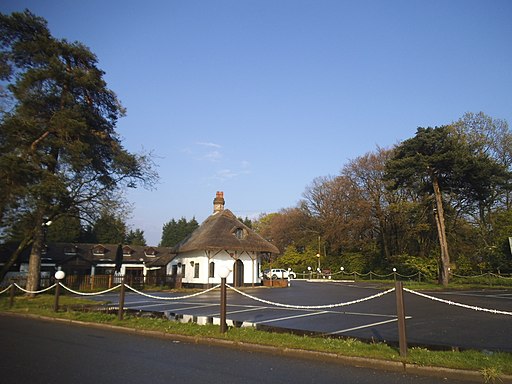
Westerham Heights Farm on the A233 road in Westerham, Kent, England, and adjacent to the border with the London Borough of Bromley.


