Walk from Brecon Town
![]()
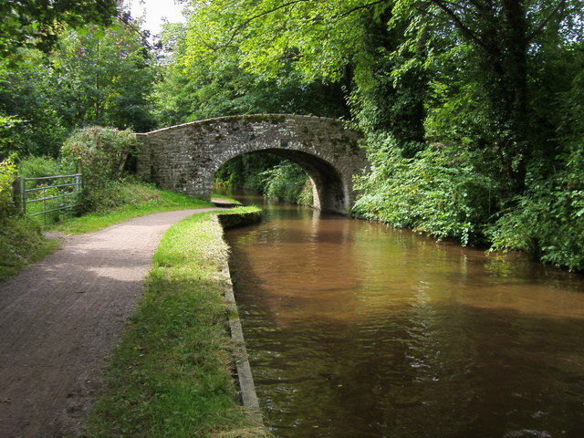
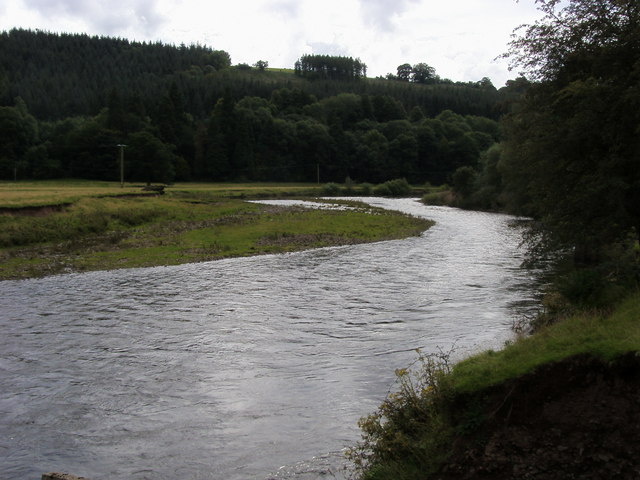
![]() This circular walk from the town of Brecon takes you along the Monmouthshire and Brecon Canal and the River Usk. There's nice easy waterside footpaths with fine views of the countryside surrounding the town.
This circular walk from the town of Brecon takes you along the Monmouthshire and Brecon Canal and the River Usk. There's nice easy waterside footpaths with fine views of the countryside surrounding the town.
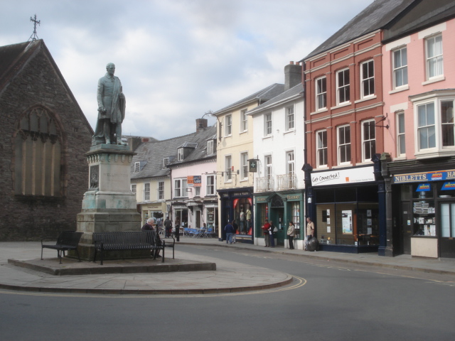
The walk starts in Brecon town centre and heads to the canal basin. You can then follow the towpath east for about 2 miles before picking up the riverside path along the Usk. This will lead you back into the town.
The long distance Taff Trail runs through Brecon. You could pick it up and head south toward Pen Y Fan. Heading south east will take you to Talybont Reservoir and the Blaen y Glyn Waterfalls.
The long distance Usk Valley Walk also passes through the town. The waymarked route is relativley flat as much of it takes place alongside the river or canals.
Brecon Ordnance Survey Map  - view and print off detailed OS map
Brecon Open Street Map  - view and print off detailed map
Brecon OS Map  - Mobile GPS OS Map with Location tracking
Brecon Open Street Map  - Mobile GPS Map with Location tracking
Walks near Brecon
- Taff Trail - Follow the River Taff, from Cardiff to Brecon, on this fantastic waterside cycling and walking route.
You start on the River Taff in Cardiff and head along the river northwards passing the Millennium Stadium and Cardiff Castle - Talybont Reservoir - This circular cycling and walking route takes you around the lovely Talybont Reservoir in the Brecon Beacons National Park
- Monmouthshire and Brecon Canal - Follow the Monmouthshire and Brecon Canal from Brecon to Newport on this super waterside walking and cycling route
- Pen Y Fan - Climb the highest peak in South Wales and southern Britain on this stunning walk in the Brecon Beacons National Park.
This is a challenging climb to the 2906 feet (886m) summit but the footpaths are generally very good for most of the walk.
You start at the car park at Pont ar Daf about 10 miles north of Merthyr Tydfil - Blaen y Glyn Waterfalls - This walk visits a series of beautiful waterfalls on the River Caerfanell near Talybont Reservoir in the Brecon Beacons
- Usk Valley Walk - This super waterside walk follows the River Usk, the Monmouthshire and Brecon Canal and the Brecon and Newport Canal from Caerleon to Brecon
- Pen y Crug - This walk climbs to Pen-y-crug hill in Powys in the Brecon Beacons.
Further Information and Other Local Ideas
The climb to Pen y Crug also starts from the town. You can follow footpath north west up to the hill where you can explore the ancient Iron Age Hillfort and enjoy some splendid views over the River Usk Valley.


