Brixham to Kingswear and Dartmouth Coastal Walk
![]()
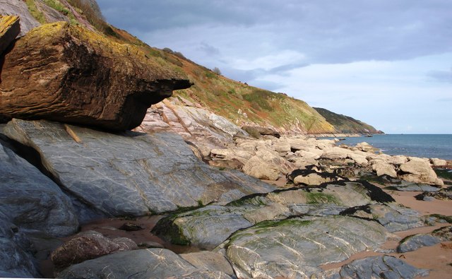
![]() Enjoy a coastal walk between these two popular towns in Devon. The walk follows an undulating section of the South West Coast Path with some splendid cliff top views. It's about a 9.5 mile walk so perfect for a day's hike.
Enjoy a coastal walk between these two popular towns in Devon. The walk follows an undulating section of the South West Coast Path with some splendid cliff top views. It's about a 9.5 mile walk so perfect for a day's hike.
Starting at the marina in Brixham the path heads around Berry Head where you can enjoy a variety of flowering plants and look out for Guillemots on the cliffs.
The path continues to Durl Head and around the beautiful St Mary's Bay to Sharkham Point Nature Reserve. The pretty reserve is fantastic for wildlife with ospreys in the skies above and dolphins in the beautiful turquoise waters below.
You continue south to Southdown Cliff and Crabrock Point before coming to the lovely Scabbacombe Sands. Shortly after you come to another real highlight of the walk at Coleton Fishacre. The National Trust owned site has beautiful gardens full of rare and exotic plants.
After exploring the gardens the route heads to Froward Point where you will find a busy National Coastwatch Institution (NCI) lookout station. Watch keepers here have recorded sightings of seals and other aquatic mammals so keep your eyes peeled for wildlife as you round the point.
The final section of the walk runs to the pretty village of Kingswear on the River Dart. You'll pass the 15th century Kingswear Castle before coming to the village where you can catch the ferry across the river to Dartmouth.
To extend your exercise you can explore Dartmouth and the Dart Estuary on our waterside walk. You could also head north and visit Dittisham using a section of the Dart Valley Trail long distance path.
Brixham to Dartmouth Ordnance Survey Map  - view and print off detailed OS map
Brixham to Dartmouth Open Street Map  - view and print off detailed map
*New* - Walks and Cycle Routes Near Me Map - Waymarked Routes and Mountain Bike Trails>>
Brixham to Dartmouth OS Map  - Mobile GPS OS Map with Location tracking
Brixham to Dartmouth Open Street Map  - Mobile GPS Map with Location tracking
Further Information and Other Local Ideas
If you continue west along the coast path you will soon come to a major highlight of the area at Slapton Ley and Slapton Sands. This National Nature Reserve includes a stunning lagoon, a beautiful beach and a large variety of wildlife.
For more walking ideas in the area see the Devon Walks page.


