GPS Cycle and Walking Routescycle iconwalk icon

Buchanty Spout Walk

0.6 miles (1 km)

Ordnance Survey Map Open Streetmap This walk visits the Buchanty Spout waterfall on the River Almond near Crieff in Perth and Kinross.
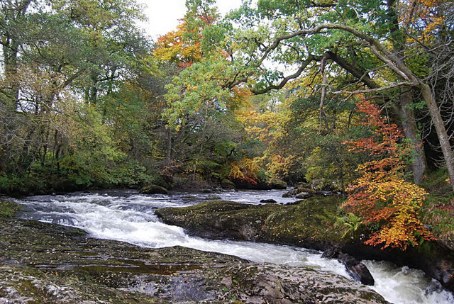
There is a public car park near the falls and a short walking trail. At the impressive falls you can see the leaping salmon during late summer and autumn. It's a fine spot, particularly after heavy rain.
You can continue your walking in the area by heading into Crieff to try Lady Mary's Walk.

Buchanty Spout OS Map Ordnance survey map - Mobile GPS OS Map with Location tracking

Buchanty Spout Open Street Map Open Streetmap - Mobile GPS Map with Location tracking

Cycle Routes and Walking Routes Nearby

Photos

Buchanty Spout - geograph.org.uk - 848999

Buchanty Spout. The Spout is a dramatic pothole and powerful waterfall on the River Almond.

River Almond, Buchanty - geograph.org.uk - 323665

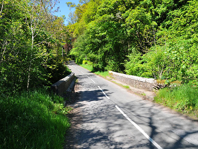
River Almond, Buchanty. Looking upstream from the road bridge towards Buchanty Spout.

Buchanty Spout, River Almond - geograph.org.uk - 2371130

Buchanty Spout - geograph.org.uk - 849026

Easter Buchanty - geograph.org.uk - 4416623

Easter Buchanty

Bridge of Buchanty - geograph.org.uk - 1330860

Bridge of Buchanty

Video

GPS Files

GPX File

Buchanty Spout.gpx (On Desktop:Right Click>Save As. On Ipad/Iphone:Click and hold>Download Linked File)