Cardiff Bay to Penarth Walk
![]()
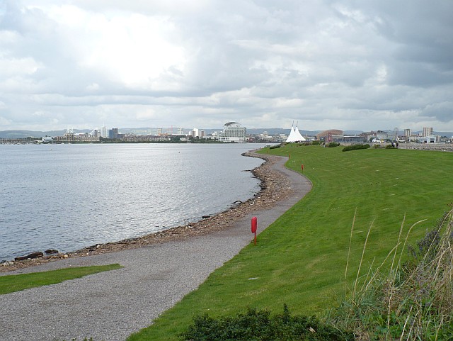
![]() This walk takes you from Cardiff Bay to the seafront at Penarth. It runs for about 2.5 miles with nice views of the bay, Cardiff Barrage and Penarth Flats.
This walk takes you from Cardiff Bay to the seafront at Penarth. It runs for about 2.5 miles with nice views of the bay, Cardiff Barrage and Penarth Flats.
The walk starts from Cardiff Bay station in Butewtown, just to the south of the city centre. You can then follow a footpath south past the Roath Basin where there are lots of new housing development around the marina. The path also passes the noteworthy Queen Alexandra Dock. At its peak, the port was one of the largest dock systems in the world. The route then passes the impressive Cardiff Barrage that impounds the Rivers Taff and Ely to create a massive fresh-water lake across to Penarth Head.
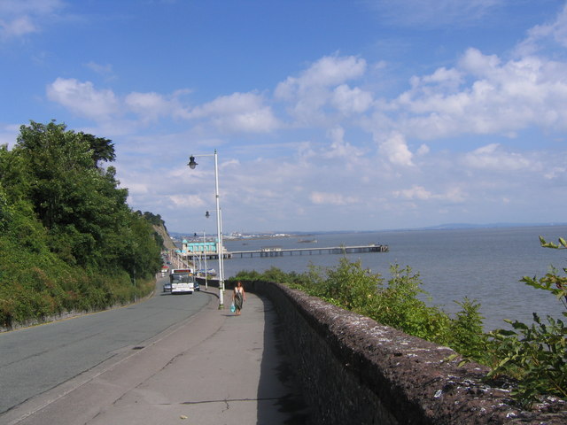
The route then heads through Penarth, passing Penarth Head before finishing on the sea front. Here you can enjoy a stroll on the pier and enjoy some refreshments in one of the many pubs and cafes.
You could extend the walk by continuing along the coast path to Sully Island before heading inland to visit Cosmeston Lakes Country Park. There's some nice waterside trails to follow around the two pretty lakes here.
Cardiff Bay to Penarth Walk Ordnance Survey Map  - view and print off detailed OS map
Cardiff Bay to Penarth Walk Open Street Map  - view and print off detailed map
Cardiff Bay to Penarth Walk OS Map  - Mobile GPS OS Map with Location tracking
Cardiff Bay to Penarth Walk Open Street Map  - Mobile GPS Map with Location tracking
Further Information and Other Local Ideas
To continue your walking in the area try the popular Cardiff Bay Trail. This circular walking and cycling route explores the redeveloped Cardiff Bay with its marinas, shops, cafes and historic buildings.
Cycle Routes and Walking Routes Nearby
Photos
Cardiff Bay Barrage Road Train Cardiff Bay Barrage Road Train that takes sightseers across the Barrage to Cardiff Bay


