Carterton Walks - Near and Around
![]()
![]() This modern Oxfordshire based town is located in the western part of the county near Witney.
This modern Oxfordshire based town is located in the western part of the county near Witney.
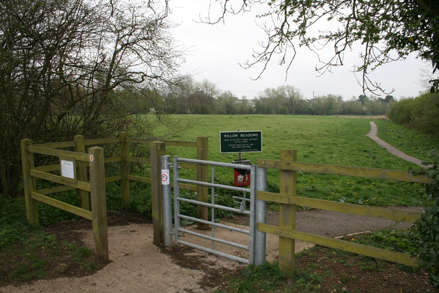
This walk from the town takes you through the Willow Meadows to the neighbouring village of Alvescot. The meadows lie on the western side of the town and have some nice footpaths heading south along the Shill Brook. You'll also pass RAF Brize Norton, the largest station of the Royal Air Force.
To continue your walking around Carterton head south to visit the nearby village of Bampton. Here you can pick up the Thames Path and enjoy a waterside walk along the River Thames.
Postcode
OX18 3JH - Please note: Postcode may be approximate for some rural locationsCarterton Ordnance Survey Map  - view and print off detailed OS map
Carterton Open Street Map  - view and print off detailed map
Carterton OS Map  - Mobile GPS OS Map with Location tracking
Carterton Open Street Map  - Mobile GPS Map with Location tracking
Walks near Carterton
- Bampton - This pretty village is surrounded by some lovely Oxfordshire countryside and is only a short walk from the River Thames
- Lechlade River Circular Walk - This lovely circular walk takes you along the River Thames and through the countryside surrounding this pretty town in Gloucestershire
- Farmoor Reservoir - Enjoy an easy circular walk around this pretty reservoir near Oxford
- Cotswold Water Park - This fabulous attraction has numerous waterside cycling and walking paths taking you around the park's 150 lakes
- Fairford - The Gloucestershire town of Fairford is ideally located for exploring the Cotswolds Hills on foot
- Tadpole Bridge - This easy riverside walk follows a section of the Thames Path National Trail from the popular Tadpole Bridge Inn to the historic old bridge at Newbridge to the east.
- Witney Circular Walk - This lovely circular walk takes you to some of the highlights of the Oxfordshire town of Witney
- Minster Lovell - This walk explores the pretty Oxfordshire village of Minster Lovell with its old hall, thatched stone cottages and riverside footpaths
- Burford Circular Walk - This circular walk explores the countryside and woodland surrounding the Oxfordshire town of Burford
- Eynsham - This attractive Oxfordshire based town is in a great spot riverside and country walks
- Eastleach - This Gloucestershire village includes the settlements of Eastleach Turville and Eastleach Martin which sit either side of the River Leach.
- Southrop - This Gloucestershire village lies just to the south of < href='/routes/home.nsf/RoutesLinksWalks/eastleach-walking-route'>Eastleach on the eastern edge of the Cotswolds.
Further Information and Other Local Ideas
To the west there's Eastleach where you can enjoy two noteworthy Norman churches and an ancient stone slab clapper footbridge over the River Leach. It's another picture postcard place known for its numerous historic buildings and a colourful display of daffodils in the spring. Lovely Southrop can also be visited in this area.
Photos
Runway Lights, R.A.F. Brize Norton. The Station is home to the RAF's Strategic and Tactical Air Transport (AT) and Air-to-Air Refuelling (AAR) forces, as well as host to many lodger and reserve units.


