Castle Hill Huddersfield Walk
![]()
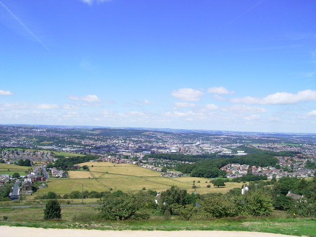
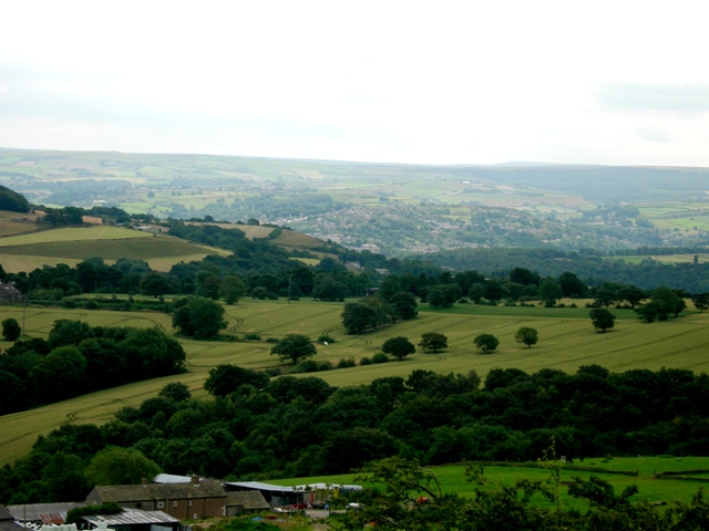
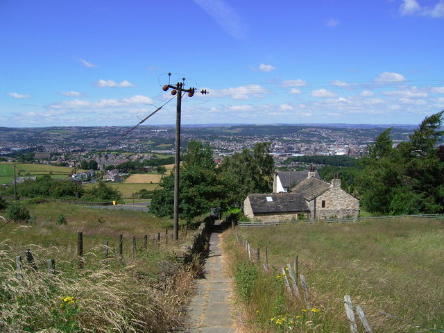
![]() Climb to this prominent landmark and scheduled ancient monument on this walk in Huddersfield. At the top of the hill you will find and Iron Age Hillfort and the grade II listed Victoria Tower. The tower is 106 feet (32.3 m) high, making the hill over 1000 ft high. From the summit there are fantastic views over the town and the surrounding countryside of the Holme Valley.
Climb to this prominent landmark and scheduled ancient monument on this walk in Huddersfield. At the top of the hill you will find and Iron Age Hillfort and the grade II listed Victoria Tower. The tower is 106 feet (32.3 m) high, making the hill over 1000 ft high. From the summit there are fantastic views over the town and the surrounding countryside of the Holme Valley.
You can start the walk from the car park located at the top of the hill or from the nearby Berry Brow Train Station, if you wish to visit by public transport. You can follow the Holme Valley Circular Walk from the station to the hill which is about a 1 mile climb to the east. Then you can follow a series of good surfaced footpaths around the hilltop. At the summit you will find the fascinating remains of an early Iron Age Hillfort and a 12th century motte and bailey castle. It is also the site of a deserted medieval village.
To extend your walk follow the Holme Valley Circular Walk south to Farnley Tyas, via Molly Carr Wood and Royd House Wood.
If you head west the path will take you through Berry Brow to Armitage Bridge. Here you can enjoy a walk along the River Holme through Mag Wood.
You can see the fantastic view from the elevated car park on the google street view link below! It shows the wonderful panoramic view of the Kirklees countryside.
Postcode
HD4 6TA - Please note: Postcode may be approximate for some rural locationsCastle Hill Huddersfield Ordnance Survey Map  - view and print off detailed OS map
Castle Hill Huddersfield Open Street Map  - view and print off detailed map
*New* - Walks and Cycle Routes Near Me Map - Waymarked Routes and Mountain Bike Trails>>
Castle Hill Huddersfield OS Map  - Mobile GPS OS Map with Location tracking
Castle Hill Huddersfield Open Street Map  - Mobile GPS Map with Location tracking
Explore the Area with Google Street View 
Pubs/Cafes
Just to the north of the hill there's The Victoria for some post walk refreshment. The pub has a good selection of ales and some outdoor seating too. You can find them at 105 Jackroyd Lane, HD4 6RB.
You could also head a short distance south and visit the Golden Cock in Farnley Tyas. The 200 year old pub has a nice interior with beamed ceilings and stone floors in some areas. Outside there's a garden area where you can relax on warmer days. They serve good quality dishes and can be found at postcode HD4 6UD for your sat navs.
Dog Walking
The hill is a popular place to bring your dog for a walk. The Golden Cock mentioned above is also dog friendly.
Further Information and Other Local Ideas
If you head into Huddersfield you can enjoy easy waterside walking along the Huddersfield Narrow Canal and the Huddersfield Broad Canal. The Broad Canal is crossed by the Calder Valley Greenway. This shared cycling and walking trail follows the route of the old Midland Railway from Huddersfield to Dewsbury.
The Farnley Tyas Walk climbs to the hill from the nearby little village. It's about a 1 mile walk to the hill along a waymarked path with a nice old pub to visit afterwards.
Cycle Routes and Walking Routes Nearby
Photos
South side of the hill, Almondbury. The Victoria Tower on Castle Hill is just within this square. It was built for the Diamond Jubilee in 1897. The hillside below is appropriately called Hill Side on the 6" map. In the foreground are typical pasture fields.
Castle Hill is a Scheduled Ancient Monument situated on a hilltop overlooking Huddersfield. It has been settled for at least 4,000 years. it is one of Yorkshire's most important early Iron Age hill forts. Victoria Tower was completed in 1899 to celebrate the 60th anniversary of Queen Victoria's reign. and was officially opened by the Earl of Scarborough on 24 June 1899. Victoria Tower is open to the public on certain days of the year.


