Charvil Country Park
![]()
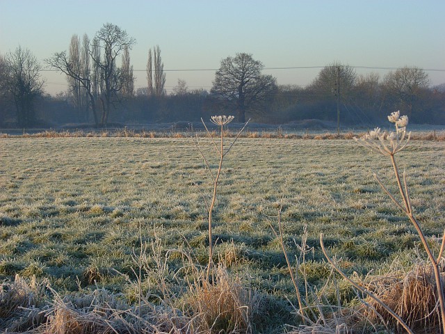
![]() This country park is located between the villages of Charvil and Twyford in Berkshire. It includes a series of nice waterside trails around several lakes and the River Loddon. The area is great for wildlife with lots of water loving birds visiting the area.
This country park is located between the villages of Charvil and Twyford in Berkshire. It includes a series of nice waterside trails around several lakes and the River Loddon. The area is great for wildlife with lots of water loving birds visiting the area.
The park is next to the Loddon Nature Reserve and Charvil meadows so it's easy to extend your walking there.
If you head north you can explore Charvil Meadows and then head to the River Thames. Follow the riverside path west and it will take you to Sonning where you could visit the 18th century flour mill which is now the UK's only dinner theatre.
Postcode
RG10 9TY - Please note: Postcode may be approximate for some rural locationsCharvil Country Park Ordnance Survey Map  - view and print off detailed OS map
Charvil Country Park Open Street Map  - view and print off detailed map
Charvil Country Park OS Map  - Mobile GPS OS Map with Location tracking
Charvil Country Park Open Street Map  - Mobile GPS Map with Location tracking
Dog Walking
The park is a popular place for dog walking so you'll probably see other owners on your visit. It's best to keep them on leads or under close control because of the wildlife.
Further Information and Other Local Ideas
For more walking ideas in the area see the Berkshire Walks page.


