Cladagh Glen and Marble Arch Caves Walk
![]() This walk visits a series of natural limestone caves in County Fermanagh, Northern Ireland. The area also includes the beautiful Cladagh Glen where you can enjoy a walk along the Cladagh River.
This walk visits a series of natural limestone caves in County Fermanagh, Northern Ireland. The area also includes the beautiful Cladagh Glen where you can enjoy a walk along the Cladagh River.
You can start the walk at the car parking area on Cladagh Bridge and then pick up a footpath heading south along the river to the Cascades Waterfall.
The Glen, with its narrow, steep-sided gorge, stands out as one of the most scenic locations within the Marble Arch Caves Global Geopark, especially where the Cladagh River surfaces after its subterranean journey through the caves.
The surrounding woodland is a small remnant of the extensive ash woods that once spanned Ireland, meaning many of the trees present are direct descendants of those that existed here centuries ago. Come spring, the forest floor transforms into a vibrant display of wildflowers and herbs, including bluebells, wood anemones, primroses, and celandines.
For wildlife enthusiasts, the reserve is a haven, home to pine martens, red squirrels, and dippers, frequently spotted in the area.
Notable features along the woodland walk include the Marble Arch, which lends its name to the Marble Arch Caves, the Marble Arch Rising, and the Cascades waterfall. These natural attractions highlight the unique charm of this limestone landscape, sculpted and shaped by water over time.
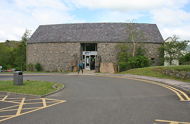
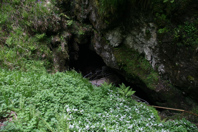
The route then continues to the Marble Arch Caves which are a popular tourist attraction. The unqiue landscape surrounding the caves is a product of over 340 million years of geological history.
This natural area, with its caves, rivers, mountains, ancient woodlands, waterfalls, and gorges, provides visitors with a diverse array of activities and experiences to enjoy. You can enjoy a guided tour to gain a full appreciation of the cave's natural wonders.
Cladagh Glen and Marble Arch Caves Open Street Map  - view and print off detailed map
Cladagh Glen and Marble Arch Caves Open Street Map  - Mobile GPS Map with Location tracking
Further Information and Other Local Ideas
Head south and you could enjoy a climb to Cuilcagh Mountain, the highest point in the Breifne Mountains. The splendid Stairway to Heaven Walk can also be picked up in this area.
Cycle Routes and Walking Routes Nearby
Photos
Gateway at Knockageehan. From here, it is possible to walk beside the Cladagh River up to the Marble Arch caves.


