Cobbinshaw Reservoir
![]()
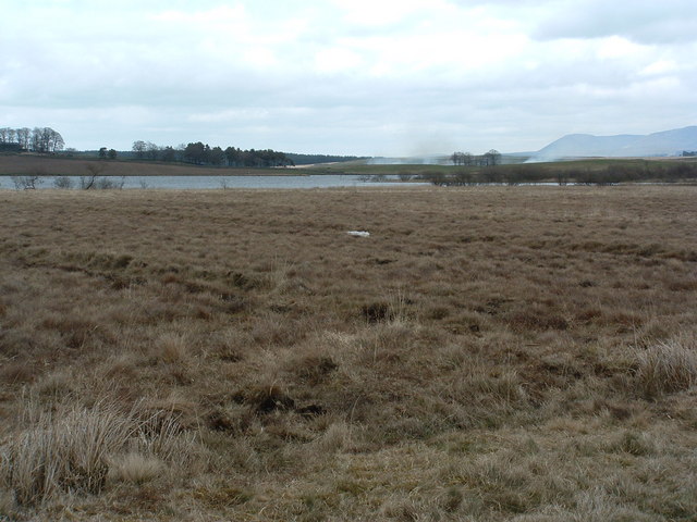
![]() This attractive reservoir in the Pentland Hills is a nice place for a stroll. There's footpaths to follow around the southern end of the reservoir with woodland trails in the adjacent Cobbinshaw Forest on the western side of the water. It's a good place for wildlife, with lots of wildfowl to see on the water.
This attractive reservoir in the Pentland Hills is a nice place for a stroll. There's footpaths to follow around the southern end of the reservoir with woodland trails in the adjacent Cobbinshaw Forest on the western side of the water. It's a good place for wildlife, with lots of wildfowl to see on the water.
The reservoir is located just to the south of Livingston and West Calder.
If you'd like to continue your reservoir walking then you could head towards Edinburgh and visit Harlaw Reservoir and Threipmuir Reservoir. Here you'll find a visitor centre and circular footpath around the reservoir. A few miles to the east you will find Harperrig Reservoir which has a parking area at the western end of the water.
Postcode
EH55 8LQ - Please note: Postcode may be approximate for some rural locationsCobbinshaw Reservoir Ordnance Survey Map  - view and print off detailed OS map
Cobbinshaw Reservoir Open Street Map  - view and print off detailed map
Cobbinshaw Reservoir OS Map  - Mobile GPS OS Map with Location tracking
Cobbinshaw Reservoir Open Street Map  - Mobile GPS Map with Location tracking
Further Information and Other Local Ideas
The lovely Almondell and Calderwood Country Park is located just a few miles to the north east of the reservoir. There's miles of trails through attractive woodland and parkland with views of the River Almond too.
To the north there's the pretty Eliburn Reservoir in Eliburn Park on the western side of Livingston.
To the east you'll find Harperrig Reservoir. Here you'll find some interesting wildlife including various wildfowl and the Eurasian otter. The site also includes views of the Water of Leith and the 15th century Cairns Castle ruins. At the eastern end of the lake you can pick up the long distance Cross Borders Drove Road. It runs south through the Pentland Hills to West Linton, Peebles, Traquair and then on to Hawick via the Yarrow Valley.
To the east there's a nice short, easy walk to the picturesque Linn Jaw Waterfall.
For more walking ideas in the area see the Pentland Hills Walks page.


