Cranmore Tower
![]()
![]() Visit the highest point on the Mendip Way and enjoy a stroll through Cranmore Wood on this circular walk in Somerset. The tower is 45 metres (148 ft) tall and dates from the 19th century. You can climb to a viewing platform where you can enjoy views over the Mendip Hills. The surrounding woods have some nice footpaths with beech trees and bluebells in the spring. Look out for badgers, rabbits and deer in this area. The tower has a tea room attached to it for refreshments after your walk.
Visit the highest point on the Mendip Way and enjoy a stroll through Cranmore Wood on this circular walk in Somerset. The tower is 45 metres (148 ft) tall and dates from the 19th century. You can climb to a viewing platform where you can enjoy views over the Mendip Hills. The surrounding woods have some nice footpaths with beech trees and bluebells in the spring. Look out for badgers, rabbits and deer in this area. The tower has a tea room attached to it for refreshments after your walk.
You can park at the tower and explore the hill top from there. Alternatively you could follow the East Mendip Way from nearby Shepton Mallet to reach the tower. It's about a three mile walk through Chelynch and Waterlip.
To extend your walk from the tower you can pick up the East Mendip Way long distance path which crosses the hill. You could head west towards Shepton Mallet and visit the Charlton Viaduct and enjoy a walk along the River Sheppey to Kilver Court Gardens. Head east and you can visit Asham Wood and the picturesque town of Frome.
Postcode
BA4 4LF - Please note: Postcode may be approximate for some rural locationsCranmore Tower Ordnance Survey Map  - view and print off detailed OS map
Cranmore Tower Open Street Map  - view and print off detailed map
*New* - Walks and Cycle Routes Near Me Map - Waymarked Routes and Mountain Bike Trails>>
Cranmore Tower OS Map  - Mobile GPS OS Map with Location tracking
Cranmore Tower Open Street Map  - Mobile GPS Map with Location tracking
Pubs/Cafes
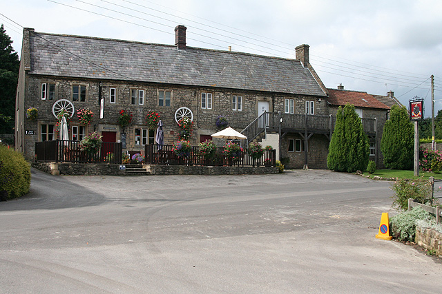
In Cranmore village there's the 18th century Strode Arms for some rest and relaxation. The country pub is a fine spot overlooking the village duck pond. They serve quality food and also have a garden area. You can find them at postcode BA4 4QJ for your sat navs.
Dog Walking
The hill and surrounding woodland are a good place for a dog walk. The Strode Arms mentioned above is dog friendly.
Further Information and Other Local Ideas
Just a few miles east of the hill there's one of the historical highlights of the area at the delightful village of Nunney. There's much to enjoy here with a medieval moated castle, a 12th century church, lots of quaint old cottages and a pretty brook running through the centre of the village. There's also an excellent 17th century pub for post walk refreshment.
For more walking ideas in the area see the Somerset Walks and Mendip Hills Walks page.


