Crompton Circuit
![]()
![]() This circular walk takes you around Shaw near Oldham.
This circular walk takes you around Shaw near Oldham.
The path starts at the car park at Crompton Fold and takes you to Crompton Moor, Moss Hey and High Crompton.
The path climbs to a height of almost 400 metres with fantastic views over the surrounding moors from the high points.
On the northern side of the route you can take a detour to visit Ogden Reservoir and Piethorne Reservoir.
Crompton Circuit Ordnance Survey Map  - view and print off detailed OS map
Crompton Circuit Open Street Map  - view and print off detailed map
Crompton Circuit OS Map  - Mobile GPS OS Map with Location tracking
Crompton Circuit Open Street Map  - Mobile GPS Map with Location tracking
Further Information and Other Local Ideas
Just to the west of the trail there's Tandle Hill Country Park where you can enjoy fine views across the Manchester Plain and the Pennine Hills.
The reservoirs and waymarked trails in Strinesdale Country Park can be found just to the south of the trail.
Cycle Routes and Walking Routes Nearby
Photos
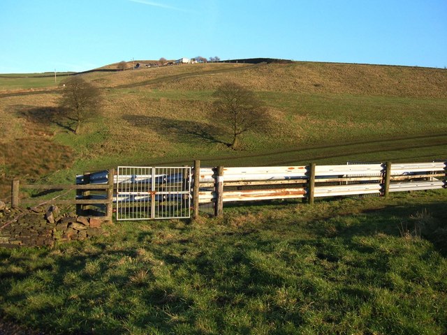
Cattle Pens. Situated on the Crompton Circuit where it crosses Higher Park. The farm at Slences can be seen on the skyline. The Crompton Circuit is an 11-mile walk around the town of Shaw.
River Beal, Newhey. Looking south from the bridge at the end of Bentgate Street. The rear gardens of houses on Whitebeam Close have been extended onto the river bank. The houses on the east bank are in Rochdale whilst the grazing land on the west bank is in Oldham. The ridge on the skyline carries the Rochdale Way, the Oldham Way and the Crompton Circuit footpaths.
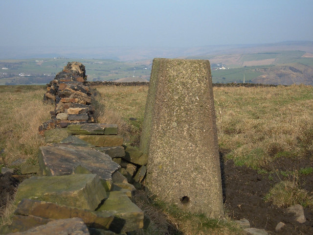
An innominate pool close to the summit of Tame Scout, the highest point (395m) on the 11 mile Crompton Circuit - a circular walk around the town of Shaw. View from SD965097 looking NE towards Saddleworth Moor.
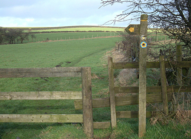
This stile is adorned with three waymark discs. The one public footpath across the field is shared by the Rochdale Way, the Oldham Way and the Crompton Cicuit. View SE overlooking Shaw.


