Crynoch Burn Walk
![]()
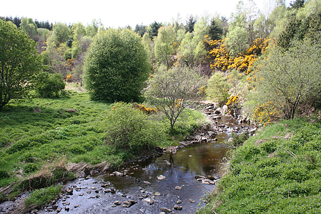
![]() This circular walk explores Maryculter Woods and the Crynoch Burn in Aberdeenshire.
This circular walk explores Maryculter Woods and the Crynoch Burn in Aberdeenshire.
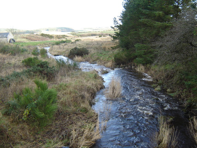
It's a pleasant place for a walk with peaceful woodland trails and nice views of the pretty stream and the surrounding countryside.
The Burn is a stream that serves as a tributary to the River Dee. Originating above Netherley, the stream flows in the vicinity of Netherley House before passing through the Red Moss, a notable natural bog habitat. It then meanders near the historic Lairhillock Inn and proceeds past the village of Maryculter, eventually winding through Maryculter and Oldman Woods before reaching its confluence with the Dee near Peterculter. The headwaters of Crynoch Burn encompass the northern and western slopes of Meikle Carewe Hill, along with the northern slopes of Curlethney Hill.
To continue your walking in the area head west to explore the expansive Durris Forest or the nearby Fetteresso Forest.
To the north you can pick up the Deeside Way in Peterculter. The shared walking and cycling trail runs along the old railway line.
Crynoch Burn Ordnance Survey Map  - view and print off detailed OS map
Crynoch Burn Open Street Map  - view and print off detailed map
Crynoch Burn OS Map  - Mobile GPS OS Map with Location tracking
Crynoch Burn Open Street Map  - Mobile GPS Map with Location tracking
Further Information and Other Local Ideas
Drumtochty Forest is another good local option. The forest includes the historic Drumtochty Forest and some popular mountain bike trails.


