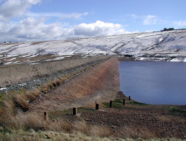
Deanhead Reservoir
![]()
![]() This walk visits Deanhead Reservoir in Kirklees, West Yorkshire. The small lake is a fine place for a walk in peaceful, attractive surroundings.
This walk visits Deanhead Reservoir in Kirklees, West Yorkshire. The small lake is a fine place for a walk in peaceful, attractive surroundings.
You can start the walk from the Scammonden lower car park on New Lane. It's located just east of the reservoir at postcode HX4 0DZ for your sat navs. From here you can follow footpaths along the Kirklees Way to the dam at the eastern end of the site. There's nice views from here across the fields to the neighbouring Scammonden Reservoir.
Postcode
HX4 0DZ - Please note: Postcode may be approximate for some rural locationsDeanhead Reservoir Ordnance Survey Map  - view and print off detailed OS map
Deanhead Reservoir Open Street Map  - view and print off detailed map
Deanhead Reservoir OS Map  - Mobile GPS OS Map with Location tracking
Deanhead Reservoir Open Street Map  - Mobile GPS Map with Location tracking
Further Information and Other Local Ideas
To continue your waterside walking head a short distance north to visit Booth Wood Reservoir which is only about a mile away.
A little further north you will find Ryburn Reservoir and Baitings Reservoir near Rishworth. This walk has nice views of the River Ryburn and some woodland sections near the reservoirs.
Just to the south west is the dramatic scenery around March Haigh Reservoir and the fine viewpoint at Buckstones Edge on Marsden Moor.


