Gorran Haven - Dodman Point Walk
![]()
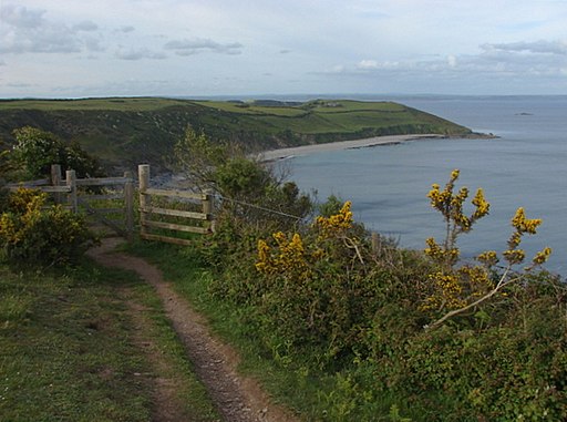
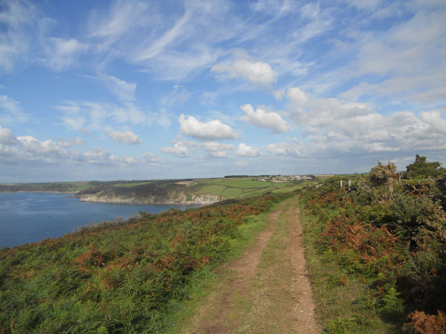
![]() This circular walk explores a wonderful headland on the Cornish coast. The area is located near the village of Gorran Haven and is the highest headland on the south coast of Cornwall. There's splendid coastal views, pretty beaches, lovely countryside and lots of wildlife to look out for.
This circular walk explores a wonderful headland on the Cornish coast. The area is located near the village of Gorran Haven and is the highest headland on the south coast of Cornwall. There's splendid coastal views, pretty beaches, lovely countryside and lots of wildlife to look out for.
The walk starts from the Penare car park, about half a mile south of Dodman Point. From here you head west towards Hemmick Beach with wonderful views across Veryan Bay to the west. You then pick up the South West Coast Path to take you up to Dodman Point. Here you will find a large granite cross, placed here in 1896 as a navigational aid to seafarers. From the elevated headland there are fabulous views towards the Roseland Peninsula. Look out for wildlife including Dartmoor ponies, peregrine falcon, stonechat and gannet.
The walk can also be started from the nearby village of Gorran Haven if you prefer. It's about a 2 mile walk from the village along the coast path to the point. It will take you past the lovely Vault Beach and the delightful Gorran Harbour.
Dodman Point Ordnance Survey Map  - view and print off detailed OS map
Dodman Point Open Street Map  - view and print off detailed map
Dodman Point OS Map  - Mobile GPS OS Map with Location tracking
Dodman Point Open Street Map  - Mobile GPS Map with Location tracking
Further Information and Other Local Ideas
If you would like to extend your walk you can follow the coast path north to Mevagissey on the Gorran Haven to Mevagissey Circular Walk. Here you can pick up the Mevagissey Walk which uses part of Pentewan Trail and the coastal path to create a circular walk around the village. The picturesque fishing village is also well worth exploring with its photogenic harbour and interesting narrow streets full of quaint old shops and pretty cottages. Near here you can also visit the stunning Lost Gardens of Heligan. The gardens are a real highlight of the area and include Victorian Productive Gardens, romantic Pleasure Grounds and a lush sub-tropical Jungle.
Head west along the coast path and you could pay a visit to the worthy village of Portloe. The village has a lovely harbour and a fine 17th century seaside inn to investigate.
For more walking ideas in the area see the Cornwall Walks page.
Cycle Routes and Walking Routes Nearby
Photos
The harbour, Gorran Haven. Composite panorama of the harbour wall at Gorran Haven, with Turbot Point in the distance. The walk could be started from this pretty village just north east of the Point.
Vault Beach, south of Gorran Haven. Looking west along the beach from the coastal footpath above Cadythew Rock. The beach (apparently also called Bow Beach) has relatively few visitors as it is only possible to get there by walking along the steep coastal footpath around Maenease Point from Gorran Haven harbour. This end of the beach (and the rest of Maenease Point) is in the care of the National Trust.


