Dogmersfield Park
![]()
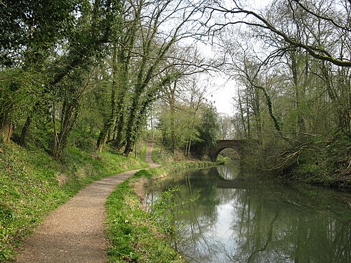
![]() Enjoy an easy stroll through Dogmersfield park on this circular walk in Hampshire. The walk starts at the Basingstoke Canal car park in Odiham and follows the canal towpath past Odiham Common to the pretty Tundry Pond. You then follow footpaths around Dogmersfield Lake before picking up the canal to take you back to the car park. The park is located just to the west of Fleet and Farnborough.
Enjoy an easy stroll through Dogmersfield park on this circular walk in Hampshire. The walk starts at the Basingstoke Canal car park in Odiham and follows the canal towpath past Odiham Common to the pretty Tundry Pond. You then follow footpaths around Dogmersfield Lake before picking up the canal to take you back to the car park. The park is located just to the west of Fleet and Farnborough.
The Odiham Castle and Canal Walk starts from the same car park. You can follow the canal a couple of miles to the west to visit the historic ruins of the 13th century castle. There are also views of the River Whitewater at Warnborough Green to enjoy here.
Dogmersfield Park Ordnance Survey Map  - view and print off detailed OS map
Dogmersfield Park Open Street Map  - view and print off detailed map
Dogmersfield Park OS Map  - Mobile GPS OS Map with Location tracking
Dogmersfield Park Open Street Map  - Mobile GPS Map with Location tracking
Pubs/Cafes
The Queen's Head dates from the 17th Century and includes many of the original features. The pub commemorates the visit of Catherine of Aragon, who would later become Henry VIII’s first wife. Outside there is a lovely large garden area to sit in on warmer days. You can find them in the village on Pilcot Lane with postcode RG27 8SY for your sat navs. They have a car park and are also dog friendly.
Further Information and Other Local Ideas
The Crondall Walk visits the park from the nearby settlement. The village includes a noteworthy Norman church and a fine 500 year old pub.
The Three Castles Path passes through the park. This historically themed long distance trail will take you from Windsor Castle to Winchester Castle, visiting the ruined Odiham Castle on the way.
For more walking ideas in the area see the Hampshire Walks page.
Cycle Routes and Walking Routes Nearby
Photos
Tundry Pond. A large pond in Dogmersfield Park. Up ahead you can see the more northerly of two bridges on either side of an island.
Dogmersfield Park house. The house dates from the 1920s, and was formerly the dower house to the park. The house is set in extensive parkland.


