Dolebury Warren
![]()
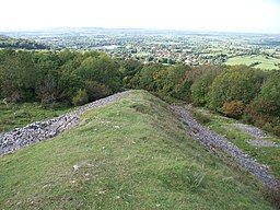
![]() This National Trust owned limestone ridge has some nice footpaths to try. There's an Iron Age hill fort, wildflowers, butterflies and splendid views across North Somerset, the Bristol Channel and the Mendips.
This National Trust owned limestone ridge has some nice footpaths to try. There's an Iron Age hill fort, wildflowers, butterflies and splendid views across North Somerset, the Bristol Channel and the Mendips.
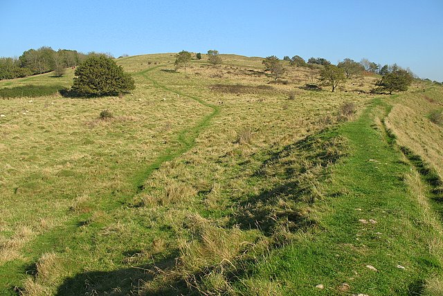
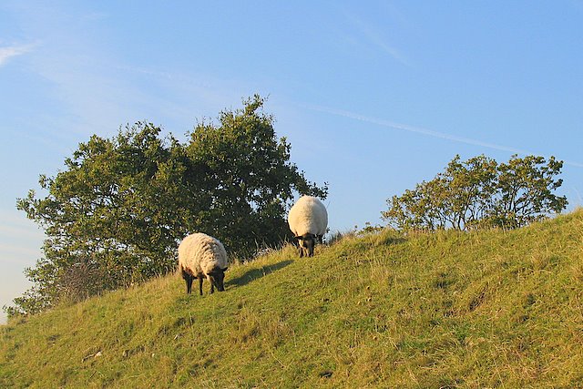
The site includes an extensive hill fort covering 22 acres and commanding fantastic views of the area. It's surrounded by lots of interesting plants of flowers including bell heather, small scabious, early purple orchid and eyebright flower. These attract a wide variety of butterflies in the summer months. Look out for small blues and marbled whites.
The route makes use of the Limestone Link which runs through the site. You can follow it east to Burrington Combe and the popular Blagdon Lake to extend your walk. The limestone gorge consists of numerous caves, cliffs and interesting rock formations. The climb to Beacon Batch on Black Down hill starts from the car park at Burrington Combe. The hill is the highest point in the Mendips and provides great views over the lake.
Just to the south you will find Rowberrow Warren with miles of mountain bike trails and woodland walks.
Postcode
BS25 5PP - Please note: Postcode may be approximate for some rural locationsDolebury Warren Ordnance Survey Map  - view and print off detailed OS map
Dolebury Warren Open Street Map  - view and print off detailed map
Dolebury Warren OS Map  - Mobile GPS OS Map with Location tracking
Dolebury Warren Open Street Map  - Mobile GPS Map with Location tracking
Pubs/Cafes
Just to the east of the reserve you will find the village of Blagdon and the lovely Blagdon Lake. In the village you will find a number of nice pubs for refreshments after your walk. The New Inn (Postcode BS40 7SB) is a classic rural inn overlooking a fishing lake, serving real ales and pub grub with leafy beer garden. The Queen Anne and Seymour Arms are also great options.
Cycle Routes and Walking Routes Nearby
Photos
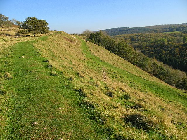
Dolebury Hillfort southern ramparts. The ramparts at Dolebury Hillfort have been dated to 3rd & 4th Centuries BC. The southern ramparts descend steeply into Dolebury Bottom (to the right). The higher land in the top right of the photograph is Blackdown (Beacon Batch) - the highest point on the Mendip Hills at 325m.


